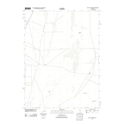
2012 Map of East of Tenabo
USGS Topo · Published 2012About this map
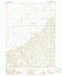
Dean Ranch and D Filippini Ranch anchor this landscape in the northern part of the Great Basin, reflecting the enduring presence of large-scale cattle operations in Lander County. Situated in the expanse of Crescent Valley, the terrain transitions from the low-lying valley floor toward the rising slopes of the Cortez Mountains in the southeast. This 2012 survey illustrates the network of rural roads, such as Ganna Rd and Hilltop Rd, that facilitate access across this high-desert environment. Seasonal drainages including Cooks Creek and Indian Creek trace the natural hydrology of the area, while the deeply incised Mule Canyon and Brock Canyon provide distinct landforms along the mountain front. The map documents the spatial relationship between isolated ranching headquarters and the primary transportation corridors, such as Grass Val-Cortez-Crescent Val.
Find a feature on this map
13 named features on this map. Tap any name to fly to it.
Don’t see what you’re looking for? This feature index may not catch every label — zoom into the map to look around manually.
Map Details
Editions of this 2012 East of Tenabo Map
This is the sole edition of this map. No revisions or reprints were ever made.
Other maps of this area
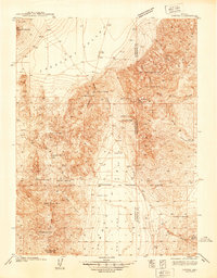
1938 · Cortez
USGS Topo · 1:48,000
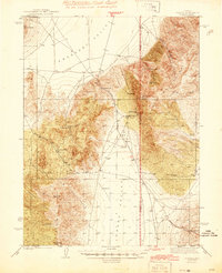
1944 · Cortez
USGS Topo · 1:62,500
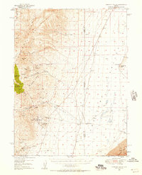
1949 · Crescent Valley
USGS Topo · 1:62,500
1950 · Crescent Valley
USGS Topo · 1:62,500

1955 · Winnemucca
USGS Topo · 1:250,000
1957 · Frenchie Creek
USGS Topo · 1:62,500
1957 · Horse Creek Valley
USGS Topo · 1:62,500

1958 · Winnemucca
USGS Topo · 1:250,000
1962 · Winnemucca
USGS Topo · 1:250,000
1985 · Hand-Me-Down Creek
USGS Topo · 1:24,000