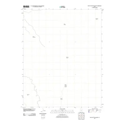
2011 Map of East of the Navajo
USGS Topo · Published 2011About this map
Burning Hills and a complex network of desert drainages define this portion of Kane County, Utah, as documented in 2011. This topographic study reveals a landscape dominated by erosion and deep seasonal watercourses, where labels like Monday Canyon, Sunday Canyon, and Rogers Canyon highlight the named features of the high desert. The area known as East of the Navajo consists of stark, high-elevation terrain dissected by the headwaters of Navajo Canyon to the south and Basin Canyon to the north. These drainage patterns provide critical spatial data for researchers studying the geomorphology and land management of the Colorado Plateau in the early twenty-first century. The map is a precise record of the remote physical geography before modern development or significant shifts in land use altered these public lands.
Find a feature on this map
7 named features on this map. Tap any name to fly to it.
Don’t see what you’re looking for? This feature index may not catch every label — zoom into the map to look around manually.
Map Details
Editions of this 2011 East of the Navajo Map
This is the sole edition of this map. No revisions or reprints were ever made.
Other maps of this area
1886 · Escalante
USGS Topo · 1:250,000
1922 · Warm Creek
USGS Topo · 1:63,360
1922 · Rees Canyon
USGS Topo · 1:63,360
1953 · Cummings Mesa
USGS Topo · 1:62,500
1953 · Gunsight Butte
USGS Topo · 1:62,500
1956 · Escalante
USGS Topo · 1:250,000
1960 · Escalante
USGS Topo · 1:250,000
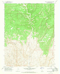
1968 · East of The Navajo
USGS Topo · 1:24,000
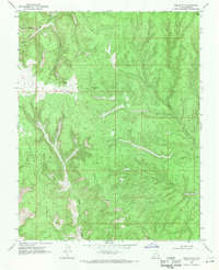
1968 · Collet Top
USGS Topo · 1:24,000
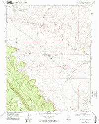
1968 · Big Hollow Wash
USGS Topo · 1:24,000