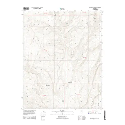
2014 Map of East of the Navajo
USGS Topo · Published 2014About this map
Kaiparowits Plateau dominates this high-altitude landscape in Kane County, where complex drainage systems have carved deep into the desert floor. The map highlights the sharp transitions between the elevated Fiftymile Mountain and the deep incisions of Navajo Canyon and Croton Canyon. This 2014 survey documents a land defined by dramatic verticality, from the high ridges at West End Point to the lower reaches of Little Valley. To the west, the Burning Hills mark a distinct geomorphological zone. The intricate network of seasonal watercourses, including Monday Canyon and Rogers Canyon, illustrates the erosional forces that have shaped this portion of the East of the Navajo quadrangle. The absence of modern infrastructure underscores the area’s preservation as a wilderness of remarkable geological complexity.
Find a feature on this map
20 named features on this map. Tap any name to fly to it.
Don’t see what you’re looking for? This feature index may not catch every label — zoom into the map to look around manually.
Map Details
Editions of this 2014 East of the Navajo Map
This is the sole edition of this map. No revisions or reprints were ever made.
Other maps of this area
1886 · Escalante
USGS Topo · 1:250,000
1922 · Warm Creek
USGS Topo · 1:63,360
1922 · Rees Canyon
USGS Topo · 1:63,360
1953 · Cummings Mesa
USGS Topo · 1:62,500
1953 · Gunsight Butte
USGS Topo · 1:62,500
1956 · Escalante
USGS Topo · 1:250,000
1960 · Escalante
USGS Topo · 1:250,000
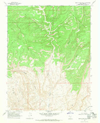
1968 · East of The Navajo
USGS Topo · 1:24,000
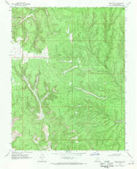
1968 · Collet Top
USGS Topo · 1:24,000
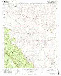
1968 · Big Hollow Wash
USGS Topo · 1:24,000