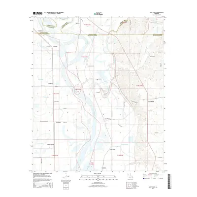
2015 Map of East Point
USGS Topo · Published 2015About this map
Loggy Bayou meanders through the heart of this Red River Parish landscape, where the confluence of several bayous and the Red River defines the local geography. The 2015 survey reveals a pattern of rural settlements concentrated along primary transit corridors, including East Point, Westdale, and Crichton. The terrain is characterized by intricate water systems such as Alligator Bayou, Fourmile Bayou, and Coushatta Bayou, which historically dictated land use and property boundaries. Cultural landmarks like Saint Marks Cem and the settlement of New Hope remain as markers of the area's social history. The presence of Grand Bend and Lake Ninock along the parish lines of Bossier, Caddo, and Red River highlights the shifting nature of the river-fed environment and the complex drainage networks typical of this Louisiana low country.
Find a feature on this map
68 named features on this map. Tap any name to fly to it.
Don’t see what you’re looking for? This feature index may not catch every label — zoom into the map to look around manually.
Map Details
Editions of this 2015 East Point Map
This is the sole edition of this map. No revisions or reprints were ever made.
Other maps of this area

1941 · East Point
USGS Topo · 1:31,680

1941 · Bossier Point
USGS Topo · 1:31,680

1945 · Mansfield
USGS Topo · 1:62,500

1947 · Ringgold
USGS Topo · 1:62,500

1947 · Mansfield
USGS Topo · 1:62,500

1948 · Coushatta
USGS Topo · 1:62,500

1948 · Caspiana
USGS Topo · 1:62,500

1955 · Shreveport
USGS Topo · 1:250,000

1955 · Caspiana
USGS Topo · 1:62,500

1956 · Shreveport
USGS Topo · 1:250,000