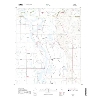
2018 Map of East Point
USGS Topo · Published 2018About this map
The Red River dominates this West Louisiana landscape, carving a complex path through the junction of Red River, Bossier, Caddo, and Bienville Parishes. The river's meanders create a series of oxbows and wetlands including Grand Bend, Lake Ninock, and Turners Lake, which define the agricultural and natural boundaries of the region. This 2018 survey reveals a network of small rural settlements such as East Point, Westdale, and Crichton that evolved around these fertile bottomlands and watercourses like Loggy Bayou and Flat River.
Find a feature on this map
73 named features on this map. Tap any name to fly to it.
Don’t see what you’re looking for? This feature index may not catch every label — zoom into the map to look around manually.
Map Details
Editions of this 2018 East Point Map
This is the sole edition of this map. No revisions or reprints were ever made.
Other maps of this area

1941 · East Point
USGS Topo · 1:31,680

1941 · Bossier Point
USGS Topo · 1:31,680

1945 · Mansfield
USGS Topo · 1:62,500

1947 · Ringgold
USGS Topo · 1:62,500

1947 · Mansfield
USGS Topo · 1:62,500

1948 · Coushatta
USGS Topo · 1:62,500

1948 · Caspiana
USGS Topo · 1:62,500

1955 · Shreveport
USGS Topo · 1:250,000

1955 · Caspiana
USGS Topo · 1:62,500

1956 · Shreveport
USGS Topo · 1:250,000