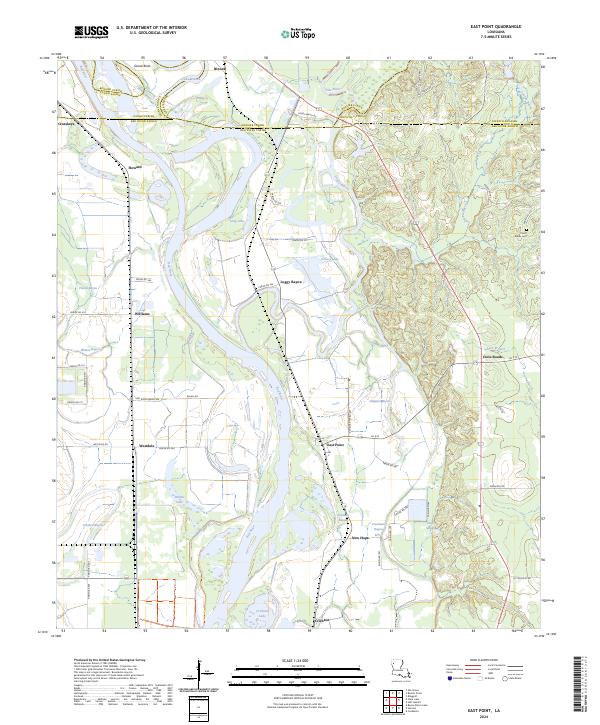
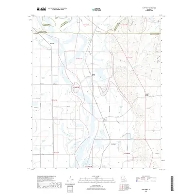
2024 Map of East Point
USGS Topo · Published 2024About this map
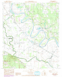
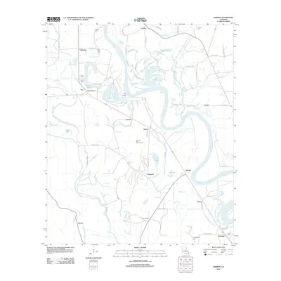
The Red River meanders through this portion of Northwest Louisiana, defining the boundaries between Bossier, Caddo, and Red River Parishes. This landscape is a complex network of active and former river channels, featuring distinctive oxbows and backwaters such as Grand Bend, Long Lake, and Turners Lake. The lower portion of the map is dominated by the Red River National Wildlife Refuge, a protected area that preserves the alluvial bottomlands and bayous characteristic of the region.
Find a feature on this map
70 named features on this map. Tap any name to fly to it.
Don’t see what you’re looking for? This feature index may not catch every label — zoom into the map to look around manually.
Map Details
Editions of this 2024 East Point Map
This is the sole edition of this map. No revisions or reprints were ever made.
Historical Maps of Loggy Bayou Through Time
21 maps found
1938 Lake End
Red River Parish, LA

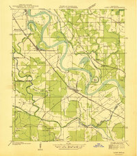
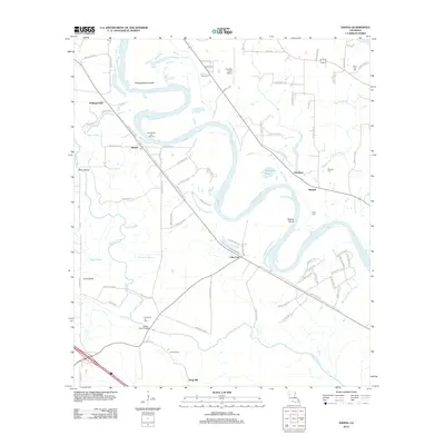
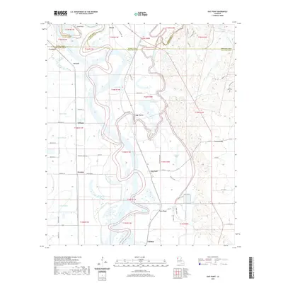
1941 East Point
Red River Parish, LA
1979 East Point
Red River Parish, LA
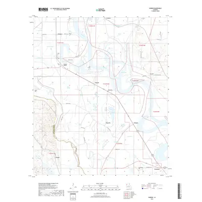
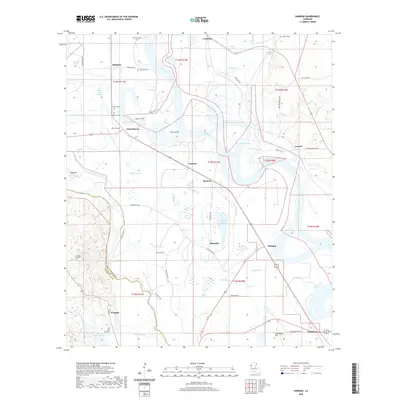
1980 Harmon
Red River Parish, LA
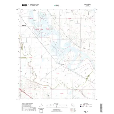
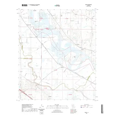
1989 Hanna
Red River Parish, LA
1992 Hanna
Red River Parish, LA
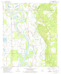
2012 East Point
Red River Parish, LA
2012 Hanna
Red River Parish, LA
2012 Harmon
Red River Parish, LA
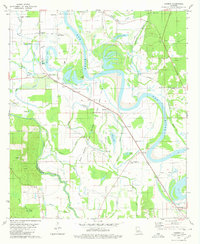
2015 East Point
Red River Parish, LA
2015 Hanna
Red River Parish, LA
2015 Harmon
Red River Parish, LA
2018 East Point
Red River Parish, LA
2018 Hanna
Red River Parish, LA
2018 Harmon
Red River Parish, LA
2020 East Point
Red River Parish, LA
2020 Hanna
Red River Parish, LA
2020 Harmon
Red River Parish, LA
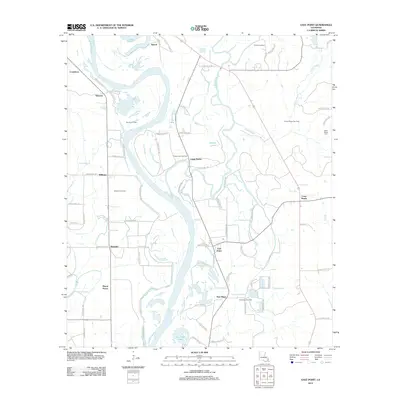
2024 East Point
Red River Parish, LA
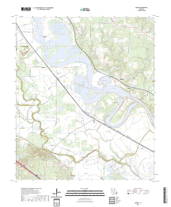
2024 Hanna
Red River Parish, LA
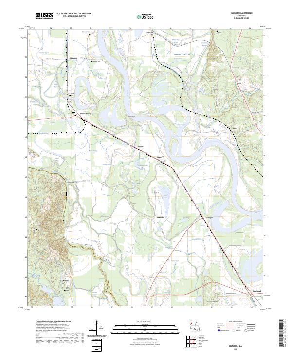
2024 Harmon
Red River Parish, LA