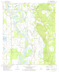
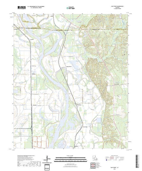
1941 Map of East Point
USGS Topo · Published 1941About this map
Red River oxbows and bottomlands dominate this 1938 field study, revealing a landscape defined by the shifting course of the water. The settlement at East Point sits nestled between the main river channel and the Loggy Bistineau Bayou, while the Texas and Pacific Railway runs parallel to the western bank through Westdale. The map captures a high density of rural social centers, including the Ashley School, Jerusalem School, and several family-oriented landmarks like Liberty Hill Church and St Marks Church with its adjacent St Marks Cemetery. Extensive wetlands and backwaters like Prudhomme Brake and Turners Lake illustrate the complex drainage patterns of the Red River Valley before modern channelization. This record is particularly valuable for tracing the location of vanished parish schools and churches that served these riverfront communities.
Find a feature on this map
51 named features on this map. Tap any name to fly to it.
Don’t see what you’re looking for? This feature index may not catch every label — zoom into the map to look around manually.
Map Details
Editions of this 1941 East Point Map
This is the sole edition of this map. No revisions or reprints were ever made.
Historical Maps of Cross Roads Through Time
9 maps found