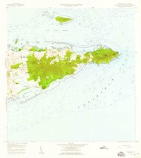
1958 Map of East Point
USGS Topo · Published 1959About this map
Saint Croix's eastern tip is documented here during a period of rural agricultural transitions, dominated by named estates and plantations. The landscape is defined by its distinct land divisions, East End A and East End B, which are marked by a collection of family-named settlements and farms that reflect the island's colonial history. Places such as Mount Roepstorff and Southgate Farm, Union and Mount Washington, and Catharinas Hope speak to the long-standing land-ownership patterns of the region.
Find a feature on this map
69 named features on this map. Tap any name to fly to it.
Don’t see what you’re looking for? This feature index may not catch every label — zoom into the map to look around manually.
Map Details
Editions of this 1958 East Point Map
5 editions found
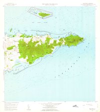
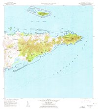
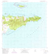
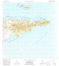
Other maps of this area
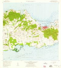
1958 · Christiansted
USGS Topo · 1:24,000
2013 · Beauregard Bay
USGS Topo · 1:20,000
2013 · Buck Island
USGS Topo · 1:20,000
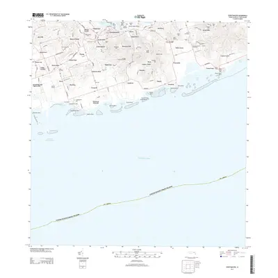
2013 · Christiansted
USGS Topo · 1:20,000
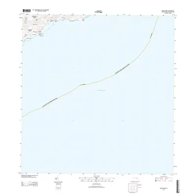
2013 · Grass Point
USGS Topo · 1:20,000
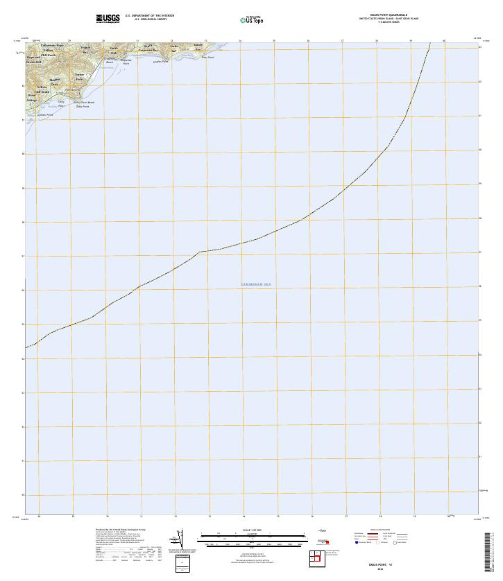
2024 · Grass Point
USGS Topo · 1:20,000
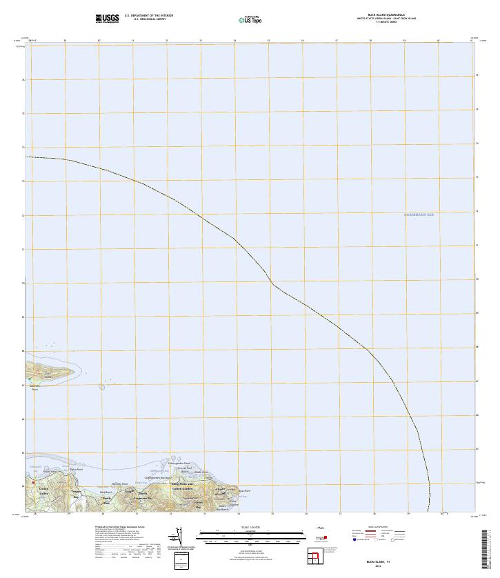
2024 · Buck Island
USGS Topo · 1:20,000
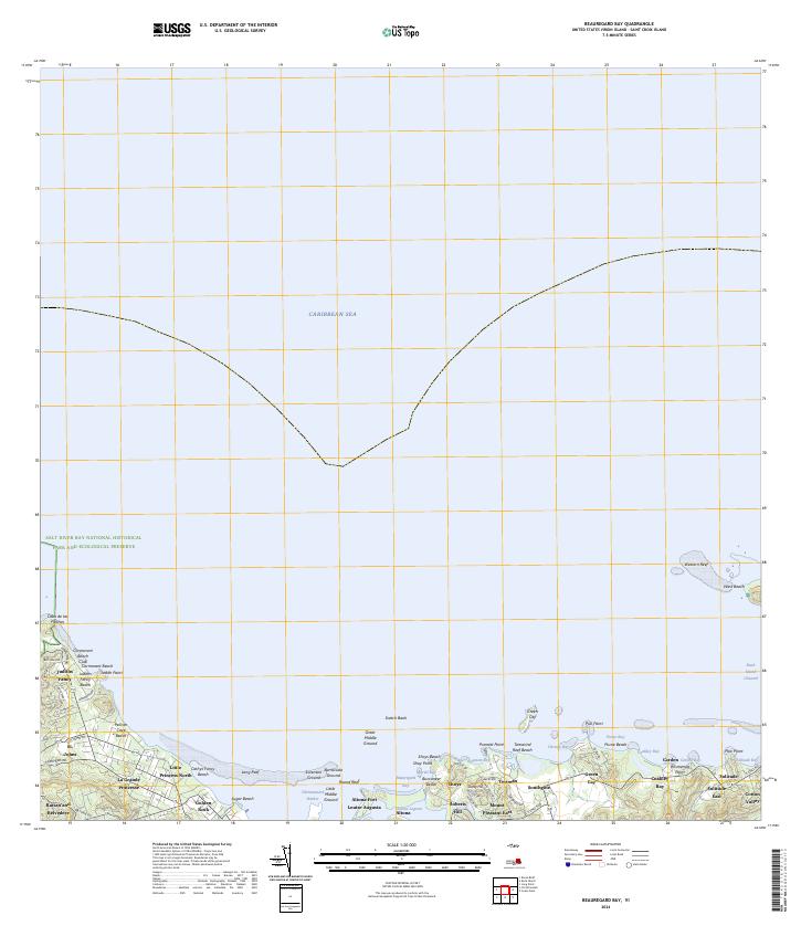
2024 · Beauregard Bay
USGS Topo · 1:20,000
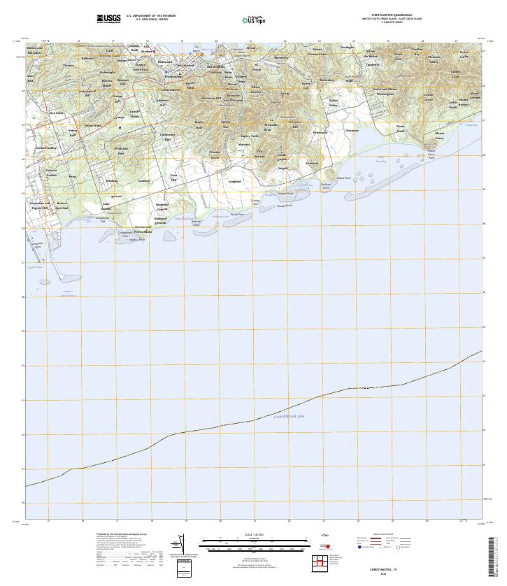
2024 · Christiansted
USGS Topo · 1:20,000
Featured Places
- Great Pond, Saint Croix District
- Coakley Bay, Saint Croix District
- Green Kay, Saint Croix District
- Mount Pleasant, Saint Croix District
- Teagues Bay, Saint Croix District