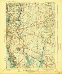
1941 Map of East Providence
USGS Topo · Published 1941About this map
The industrial and coastal landscape of the Rhode Island and Massachusetts border comes to life in this 1941 edition, surveyed just before the Second World War. The urban density of Pawtucket and East Providence transitions into a network of crossroads settlements such as Leonard Corner, Armington Corner, and South Seekonk. This era is defined by a dense concentration of community landmarks, from the sprawling Narragansett Race Track and Pawtucket Golf Club in the north to the recreational grounds of Crescent Park and Haines Memorial Park along the shoreline of Narragansett Bay.
Find a feature on this map
107 named features on this map. Tap any name to fly to it.
Don’t see what you’re looking for? This feature index may not catch every label — zoom into the map to look around manually.
Map Details
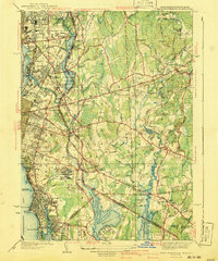
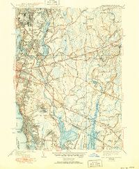
Editions of this 1941 East Providence Map
3 editions found
Other maps of this area

1885 · Taunton
USGS Topo · 1:62,500

1887 · Providence
USGS Topo · 1:62,500

1888 · Fall River
USGS Topo · 1:62,500

1888 · Taunton
USGS Topo · 1:62,500

1889 · Providence
USGS Topo · 1:62,500

1890 · Narragansett Bay
USGS Topo · 1:62,500

1892 · Narragansett Bay
USGS Topo · 1:62,500

1893 · Taunton
USGS Topo · 1:62,500

1893 · Fall River
USGS Topo · 1:62,500

1894 · Providence
USGS Topo · 1:62,500