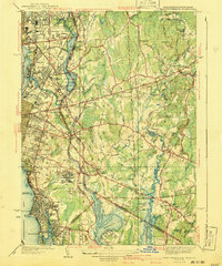
1941 Map of East Providence
USGS Topo · Published 1941About this map
Narragansett Race Track and the surrounding neighborhoods of East Providence and Pawtucket dominate this 1941 edition survey, showing the region's development just before the mid-century industrial shift. The map details a landscape of expanding coastal settlements and inland rural crossroads, connected by the New York New Haven and Hartford RR. Along the Seekonk River, the industrial and maritime heritage is evident in features like the Pomham Rock LH and the Water Works. Moving eastward into Seekonk, Massachusetts, the terrain transitions to a series of mills and ponds, including the aptly named Shoe Factory Pond. Local genealogy is well-supported by numerous burial grounds such as St Marys Cemetery and Little Neck Cemetery, alongside vanished local landmarks like Crescent Park and the Airport in South Seekonk.
Find a feature on this map
99 named features on this map. Tap any name to fly to it.
Don’t see what you’re looking for? This feature index may not catch every label — zoom into the map to look around manually.
Map Details
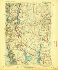
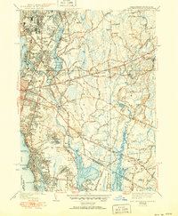
Editions of this 1941 East Providence Map
3 editions found
Other maps of this area

1885 · Taunton
USGS Topo · 1:62,500

1887 · Providence
USGS Topo · 1:62,500

1888 · Fall River
USGS Topo · 1:62,500

1888 · Taunton
USGS Topo · 1:62,500

1889 · Providence
USGS Topo · 1:62,500

1890 · Narragansett Bay
USGS Topo · 1:62,500

1892 · Narragansett Bay
USGS Topo · 1:62,500

1893 · Taunton
USGS Topo · 1:62,500

1893 · Fall River
USGS Topo · 1:62,500

1894 · Providence
USGS Topo · 1:62,500