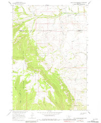
1964 Map of East Pryor Mountain
USGS Topo · Published 1981About this map
The Pryor Mountains dominate this 1964 survey, where the rugged terrain meets the boundaries of the Crow Indian Reservation and the Custer National Forest. The landscape is a complex network of deep coulees and mountain drainage, notably Dry Head Creek and the headwaters of North Fork Deadman Creek. Cultural markers on this map offer insight into the historical utility of the land, from the Buffalo Jump near Pine Coulee to the presence of Grave sites and Prospects tucked into the higher elevations.
Find a feature on this map
38 named features on this map. Tap any name to fly to it.
Don’t see what you’re looking for? This feature index may not catch every label — zoom into the map to look around manually.
Map Details
Editions of this 1964 East Pryor Mountain Map
3 editions found
Other maps of this area

1954 · Billings
USGS Topo · 1:250,000

1957 · Billings
USGS Topo · 1:250,000

1958 · Billings
USGS Topo · 1:250,000

1964 · Big Ice Cave
USGS Topo · 1:24,000

1964 · Red Pryor Mountain
USGS Topo · 1:24,000
1964 · Horse Coulee
USGS Topo · 1:24,000
1964 · Dead Indian Hill
USGS Topo · 1:24,000

1964 · East Pryor Mountain
USGS Topo · 1:24,000
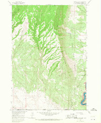
1964 · Mystery Cave
USGS Topo · 1:24,000
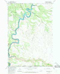
1964 · Hillsboro
USGS Topo · 1:24,000