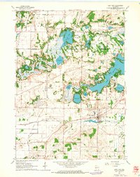
1960 Map of East Troy
USGS Topo · Published 1964About this map
Glacial topography and the namesake kettle lakes dominate this corner of the Waukesha and Walworth County line in 1960. The village of East Troy serves as the local hub, while the surrounding landscape is marked by substantial water bodies including Beulah Lake, Eagle Spring Lake, and the smaller Booth Lake. The map illustrates the transition from a traditional agricultural economy toward a recreation and institutional landscape, evidenced by the presence of Camp Edwards, Camp Chester, and the sprawling grounds of the Divine Word Seminary.
Find a feature on this map
40 named features on this map. Tap any name to fly to it.
Don’t see what you’re looking for? This feature index may not catch every label — zoom into the map to look around manually.
Map Details
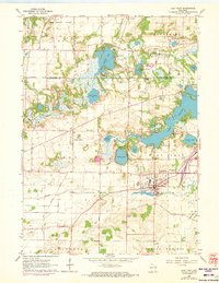
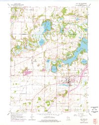
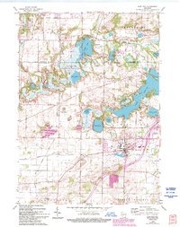
Editions of this 1960 East Troy Map
4 editions found
Other maps of this area

1892 · Whitewater
USGS Topo · 1:62,500

1892 · Eagle
USGS Topo · 1:62,500

1893 · Delavan
USGS Topo · 1:62,500

1893 · Whitewater
USGS Topo · 1:62,500

1893 · Geneva
USGS Topo · 1:62,500

1894 · Eagle
USGS Topo · 1:62,500

1897 · Eagle
USGS Topo · 1:62,500

1903 · Whitewater
USGS Topo · 1:62,500

1904 · Lake Geneva
USGS Topo · 1:62,500

1906 · Eagle
USGS Topo · 1:62,500