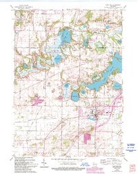
1960 Map of East Troy
USGS Topo · Published 1994About this map
Beulah Lake and the glacially-formed terrain of the Kettle Moraine define the topography of this southeastern Wisconsin region. Based on 1955 aerial photography and field-checked in 1960, the survey shows a landscape where conservation areas like Kettle Moraine State Forest and the Lulu Lake State Natural Area preserve significant wetlands and wooded ridges. The village of East Troy serves as the central hub, supported by the East Troy Municipal Airport and a network of roads following early settlement patterns.
Find a feature on this map
42 named features on this map. Tap any name to fly to it.
Don’t see what you’re looking for? This feature index may not catch every label — zoom into the map to look around manually.
Map Details
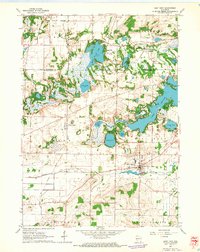
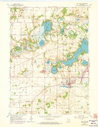
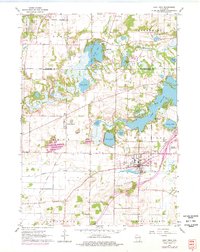
Editions of this 1960 East Troy Map
4 editions found
Other maps of this area

1892 · Whitewater
USGS Topo · 1:62,500

1892 · Eagle
USGS Topo · 1:62,500

1893 · Delavan
USGS Topo · 1:62,500

1893 · Whitewater
USGS Topo · 1:62,500

1893 · Geneva
USGS Topo · 1:62,500

1894 · Eagle
USGS Topo · 1:62,500

1897 · Eagle
USGS Topo · 1:62,500

1903 · Whitewater
USGS Topo · 1:62,500

1904 · Lake Geneva
USGS Topo · 1:62,500

1906 · Eagle
USGS Topo · 1:62,500