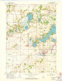
1960 Map of East Troy
USGS Topo · Published 1972About this map
The glacial legacy of the Kettle Moraine dominates this landscape on the border of Waukesha and Walworth counties, where numerous kettles have formed a dense cluster of water bodies including Lulu Lake, Eagle Spring Lake, and the sprawling Beulah Lake. Settlement patterns are centered around East Troy, which by the early 1960s featured a growing municipal core and the East Troy Airport. Smaller hamlets like Troy Center and Eagleville maintain their distinct identities amidst a network of rural roads and family-named cemeteries such as St Peters Cem and Evergreen Cem. The map reveals the early development of recreational and institutional land use, from Divine Word Seminary and Camp Edwards on the lakefronts to the early fairways of local golf courses. A northern branch of the Mukwonago River and the meandering Honey Creek provide the primary drainage for this wetland-rich region during a period of transition between traditional farming and expanding lakeside residential life.
Find a feature on this map
39 named features on this map. Tap any name to fly to it.
Don’t see what you’re looking for? This feature index may not catch every label — zoom into the map to look around manually.
Map Details
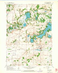
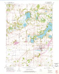
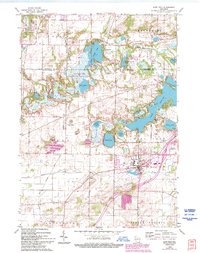
Editions of this 1960 East Troy Map
4 editions found
Other maps of this area

1892 · Whitewater
USGS Topo · 1:62,500

1892 · Eagle
USGS Topo · 1:62,500

1893 · Delavan
USGS Topo · 1:62,500

1893 · Whitewater
USGS Topo · 1:62,500

1893 · Geneva
USGS Topo · 1:62,500

1894 · Eagle
USGS Topo · 1:62,500

1897 · Eagle
USGS Topo · 1:62,500

1903 · Whitewater
USGS Topo · 1:62,500

1904 · Lake Geneva
USGS Topo · 1:62,500

1906 · Eagle
USGS Topo · 1:62,500