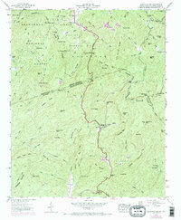
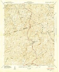
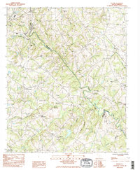
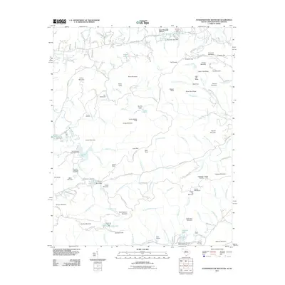
1946 Map of Eastatoe Gap
USGS Topo · Published 1970About this map
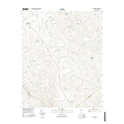
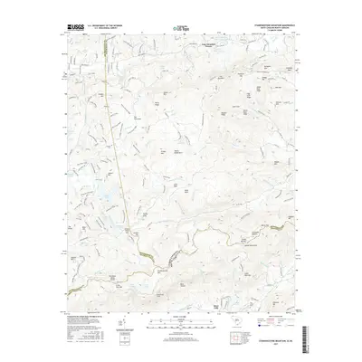
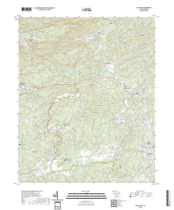
Sassafras Mtn and the surrounding high-altitude terrain of the Blue Ridge Mountains define this 1946 survey, which was updated with aerial photography in 1969. The map details a complex network of ridges and water gaps along the border between North Carolina and South Carolina, where the Nantahala National Forest meets the Pisgah National Forest. The landscape is dominated by notable peaks such as Caesars Head and Nancy Mtn, with a Lookout Tower positioned for observation above Sassafras Gap.
Find a feature on this map
89 named features on this map. Tap any name to fly to it.
Don’t see what you’re looking for? This feature index may not catch every label — zoom into the map to look around manually.
Map Details
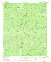
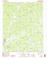
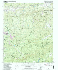
Editions of this 1946 Eastatoe Gap Map
4 editions found
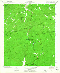
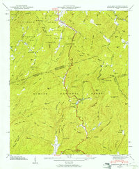
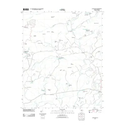
Historical Maps of Middle Fork Through Time
38 maps found
1946 Eastatoe Gap
Greenville County, SC
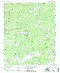
1947 Eastatoe Gap
Greenville County, SC
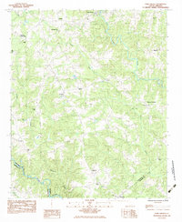
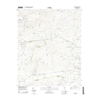
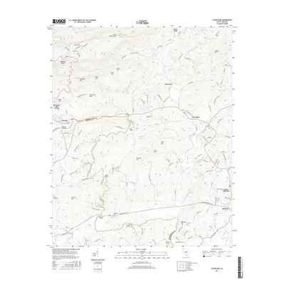
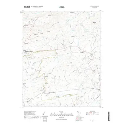
1961 Cleveland
Greenville County, SC
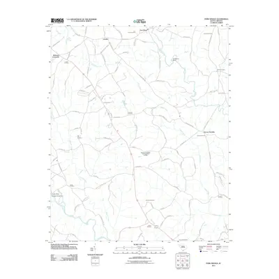
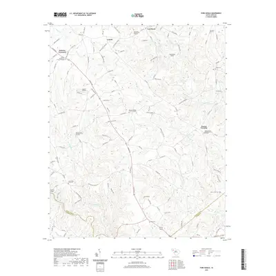
1983 Fork Shoals
Greenville County, SC
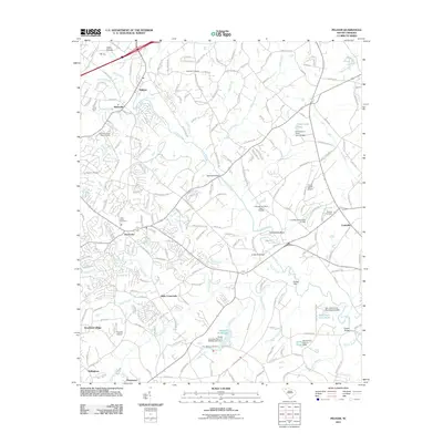
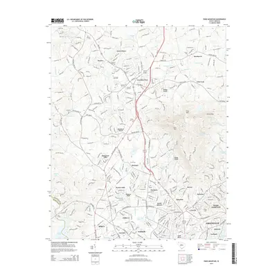
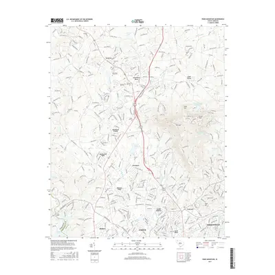
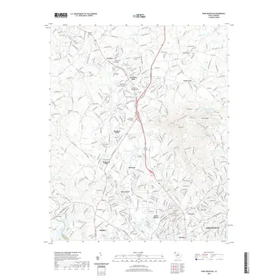
1983 Paris Mountain
Greenville County, SC
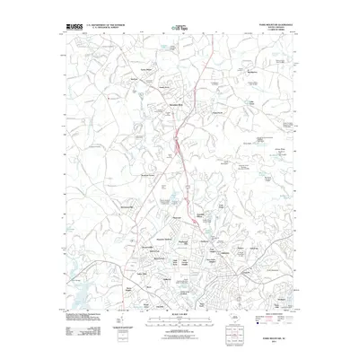
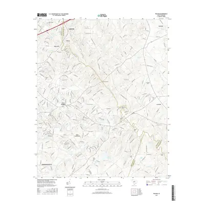
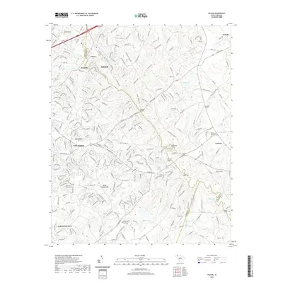
1983 Pelham
Greenville County, SC
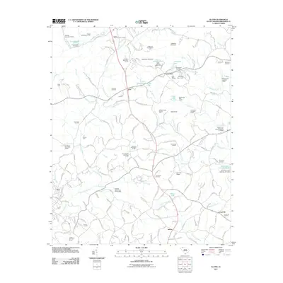
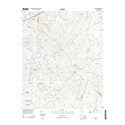
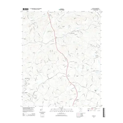
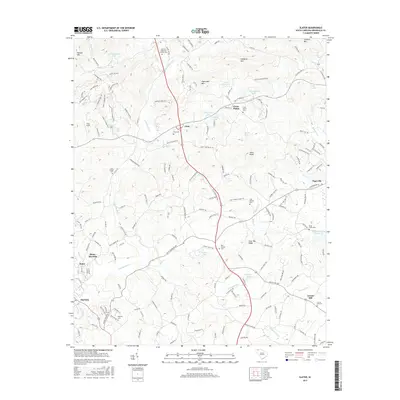
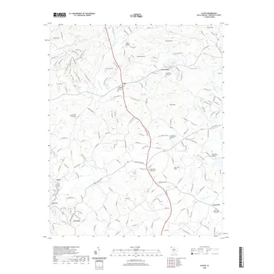
1983 Slater
Greenville County, SC
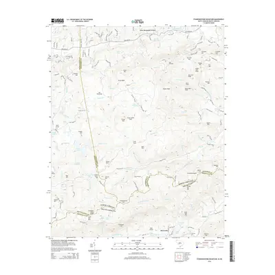
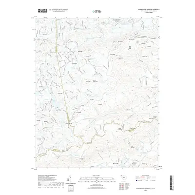
1997 Standingstone Mtn
Greenville County, SC
2011 Cleveland
Greenville County, SC
2011 Fork Shoals
Greenville County, SC
2011 Paris Mountain
Greenville County, SC
2011 Pelham
Greenville County, SC
2011 Slater
Greenville County, SC
2011 Standingstone Mountain
Greenville County, SC
2014 Cleveland
Greenville County, SC
2014 Fork Shoals
Greenville County, SC
2014 Paris Mountain
Greenville County, SC
2014 Pelham
Greenville County, SC
2014 Slater
Greenville County, SC
2014 Standingstone Mountain
Greenville County, SC
2017 Cleveland
Greenville County, SC
2017 Fork Shoals
Greenville County, SC
2017 Paris Mountain
Greenville County, SC
2017 Pelham
Greenville County, SC
2017 Slater
Greenville County, SC
2017 Standingstone Mountain
Greenville County, SC
2020 Cleveland
Greenville County, SC
2020 Fork Shoals
Greenville County, SC
2020 Paris Mountain
Greenville County, SC
2020 Pelham
Greenville County, SC
2020 Slater
Greenville County, SC
2020 Standingstone Mountain
Greenville County, SC
2024 Cleveland
Greenville County, SC
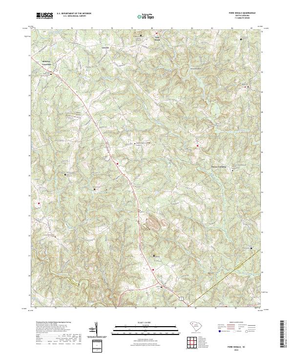
2024 Fork Shoals
Greenville County, SC
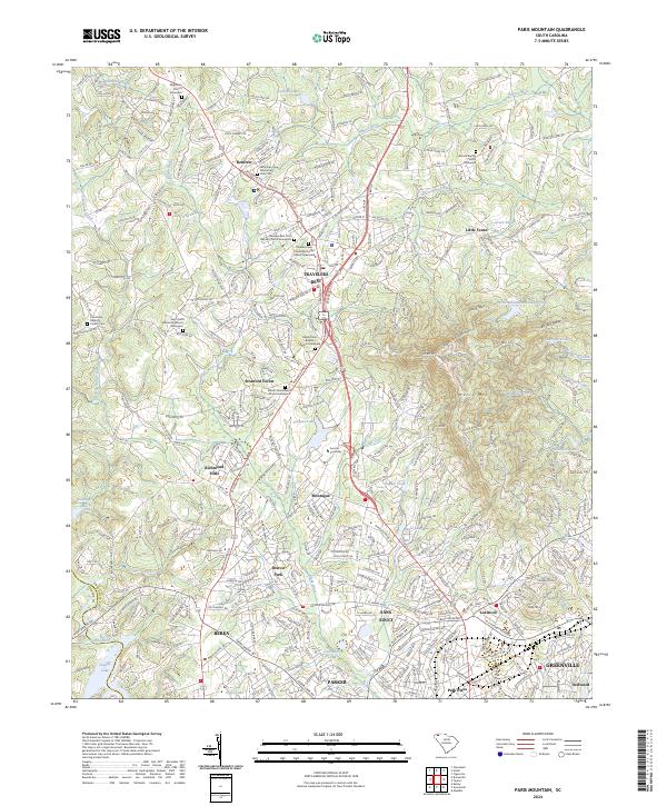
2024 Paris Mountain
Greenville County, SC
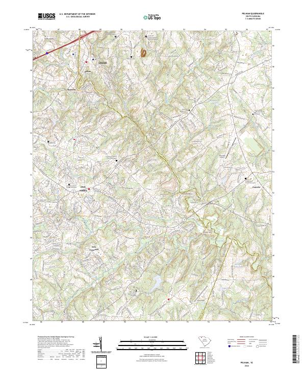
2024 Pelham
Greenville County, SC
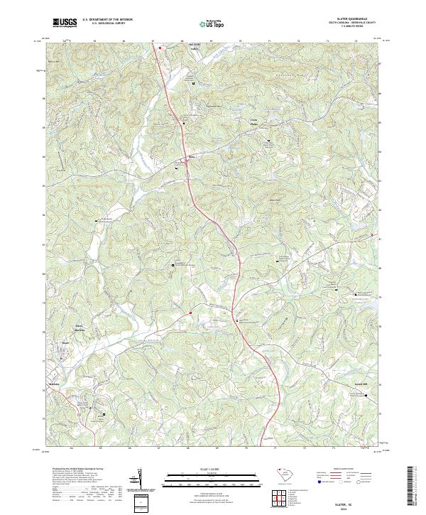
2024 Slater
Greenville County, SC
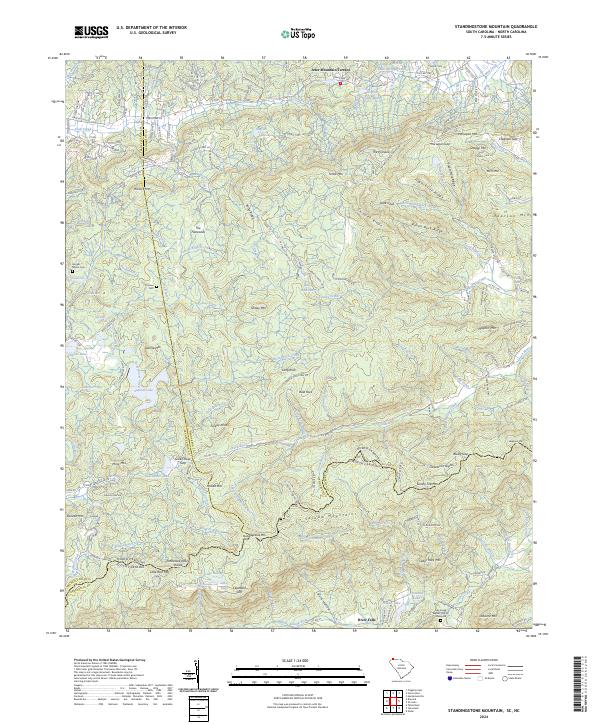
2024 Standingstone Mountain
Greenville County, SC