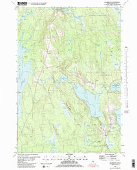
1981 Map of Eastbrook
USGS Topo · Published 1982About this map
Waltham and Eastbrook anchor this landscape of the interior Hancock County lowlands as it appeared in the late 1970s. The settlement pattern follows the high ground along Waltham Ridge and Hiller Ridge, where families established small communities and burial grounds like Hillside Cem and Sunnyside Cem. The topography is dominated by an extensive network of wetlands and sluggish water bodies, including the vast Lyle Frost Wildlife Management Area surrounding Scammon Pond. Glacial legacy is evident in the numerous labeled gravel pits and the distinctive "heaths" such as Morrison Heath and Casebottle Heath, which indicate poorly drained acidic peatlands common to this part of Maine. The East Branch Union River meanders through the northern sector, while Webb Pond serves as a central geographic feature, bordered by landmarks like Cave Hill Sch and the heights of Hardwood Hill.
Find a feature on this map
62 named features on this map. Tap any name to fly to it.
Don’t see what you’re looking for? This feature index may not catch every label — zoom into the map to look around manually.
Map Details
Editions of this 1981 Eastbrook Map
2 editions found

Other maps of this area

1911 · Ellsworth
USGS Topo · 1:62,500

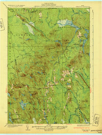
1929 · Great Pond
USGS Topo · 1:48,000

1929 · Lead Mountain
USGS Topo · 1:48,000

1930 · Tunk Lake
USGS Topo · 1:48,000

1932 · Tunk Lake
USGS Topo · 1:62,500

1932 · Lead Mountain
USGS Topo · 1:62,500
1932 · Great Pond
USGS Topo · 1:62,500
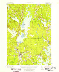
1940 · Ellsworth
USGS Topo · 1:62,500
1942 · Ellsworth
USGS Topo · 1:62,500

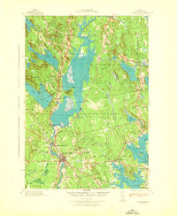
1942 · Tunk Lake
USGS Topo · 1:62,500