
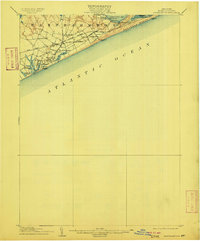
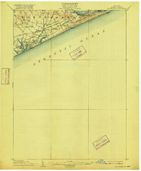
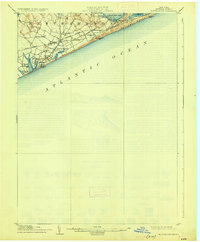
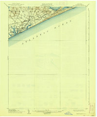
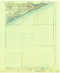
1904 Map of Easthampton
USGS Topo · Published 1904About this map
The coastal village of Easthampton and its surrounding hamlets are captured at the turn of the century, showcasing the eastern Long Island shoreline before the era of intensive suburban development. The Long Island R. R. (Montauk Division) cuts through the landscape, linking settlements like Amagansett, Pantigo, and Wainscott. This transit corridor helped transition the area from its agrarian and maritime roots into a burgeoning seasonal destination.
Find a feature on this map
30 named features on this map. Tap any name to fly to it.
Don’t see what you’re looking for? This feature index may not catch every label — zoom into the map to look around manually.
Map Details
Editions of this 1904 Easthampton Map
6 editions found
Other maps of this area

1903 · Sag Harbor
USGS Topo · 1:62,500

1903 · Gardiners Island
USGS Topo · 1:62,500

1904 · Sag Harbor
USGS Topo · 1:62,500

1904 · Shelter Island
USGS Topo · 1:62,500

1904 · Gardiners Island
USGS Topo · 1:62,500

1904 · Montauk
USGS Topo · 1:62,500

1921 · Gardiners Island
USGS Topo · 1:62,500

1921 · Easthampton
USGS Topo · 1:62,500
1942 · Montauk Point
USGS Topo · 1:24,000

1942 · Block Island
USGS Topo · 1:125,000
Featured Places
- Southampton, NY
- East Hampton, NY
- Springs, East Hampton
- East Hampton North, East Hampton
- Northwest Harbor, East Hampton