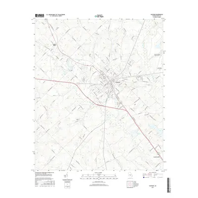
2017 Map of Eastman
USGS Topo · Published 2017About this map
Eastman serves as the central hub for this Dodge County landscape, where the confluence of regional aviation and higher education defines the local character. The presence of Mid Georgia College-Eastman and the Heart of Georgia Regional Airport on the northeastern outskirts highlights the area's modern infrastructure. The terrain is marked by numerous water bodies, including Tripps Lake, Harrell Pond, and Jamieson Pond, which drain into systems like Gum Swamp Creek and Cypress River.
Find a feature on this map
155 named features on this map. Tap any name to fly to it.
Don’t see what you’re looking for? This feature index may not catch every label — zoom into the map to look around manually.
Map Details
Editions of this 2017 Eastman Map
This is the sole edition of this map. No revisions or reprints were ever made.
Other maps of this area

1956 · Cochran
USGS Topo · 1:62,500

1957 · Macon
USGS Topo · 1:250,000

1958 · Macon
USGS Topo · 1:250,000

1964 · Macon
USGS Topo · 1:250,000

1972 · Eastman
USGS Topo · 1:24,000

1972 · West Of Eastman
USGS Topo · 1:24,000

1972 · Jay Bird Springs
USGS Topo · 1:24,000

1972 · Abbeville North
USGS Topo · 1:24,000
1972 · Milan
USGS Topo · 1:24,000

1972 · Lake Cypress
USGS Topo · 1:24,000