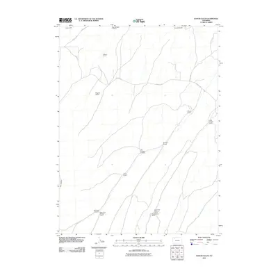
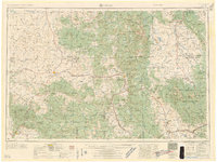
2010 Map of Easton Gulch
USGS Topo · Published 2010About this map
Battle Era Mine and the distinctive peak of Maggies Nipple define this drainage-rich portion of Moffat County. The landscape is carved by a complex network of ephemeral waterways, including Easton Gulch and Red Rock Canyon, which feed into the larger gulch systems of the region. This 2010 survey illustrates the remote character of the area, where human infrastructure is limited to sparse routes like County Rd 32 and County Rd 133. The geography here reveals the intersection of resource extraction and rugged terrain, with named features such as East Fork Collom Gulch and Chokecherry Gulch suggesting a history of local land use and landmarking by early residents and miners.
Find a feature on this map
19 named features on this map. Tap any name to fly to it.
Don’t see what you’re looking for? This feature index may not catch every label — zoom into the map to look around manually.
Map Details
Editions of this 2010 Easton Gulch Map
This is the sole edition of this map. No revisions or reprints were ever made.
Other maps of this area
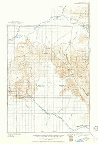
1907 · White River
USGS Topo · 1:125,000
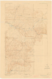
1910 · Danforth Hills
USGS Topo · 1:125,000
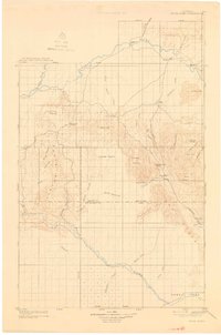
1910 · White River
USGS Topo · 1:125,000
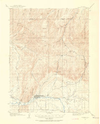
1912 · Meeker
USGS Topo · 1:62,500
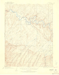
1912 · Axial
USGS Topo · 1:62,500
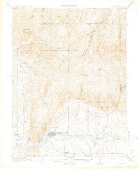
1914 · Meeker
USGS Topo · 1:62,500
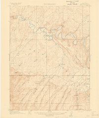
1914 · Axial
USGS Topo · 1:62,500

1954 · Vernal
USGS Topo · 1:250,000

1954 · Craig
USGS Topo · 1:250,000
1957 · Craig
USGS Topo · 1:250,000