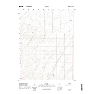
2019 Map of Easton Gulch
USGS Topo · Published 2019About this map
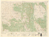
Axial Basin anchors the northern reaches of this Colorado survey, a broad structural depression defined by a complex network of seasonal drainages. The landscape is characterized by a series of prominent gulches and canyons, including Easton Gulch, Ben Morgan Canyon, and the strikingly named Maggies Nipple peak. This territory in western Moffat County reflects a classic high-desert drainage pattern where watercourses like Hurst Gulch and Straight Gulch carve through the sedimentary layers toward larger systems.
Find a feature on this map
28 named features on this map. Tap any name to fly to it.
Don’t see what you’re looking for? This feature index may not catch every label — zoom into the map to look around manually.
Map Details
Editions of this 2019 Easton Gulch Map
This is the sole edition of this map. No revisions or reprints were ever made.
Other maps of this area
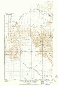
1907 · White River
USGS Topo · 1:125,000
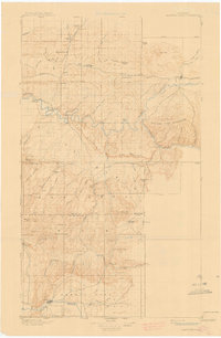
1910 · Danforth Hills
USGS Topo · 1:125,000
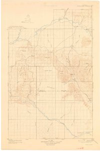
1910 · White River
USGS Topo · 1:125,000
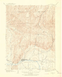
1912 · Meeker
USGS Topo · 1:62,500
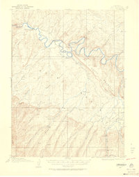
1912 · Axial
USGS Topo · 1:62,500
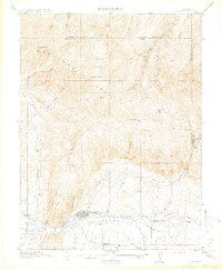
1914 · Meeker
USGS Topo · 1:62,500
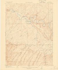
1914 · Axial
USGS Topo · 1:62,500

1954 · Vernal
USGS Topo · 1:250,000

1954 · Craig
USGS Topo · 1:250,000
1957 · Craig
USGS Topo · 1:250,000