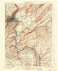
1932 Map of Easton
USGS Topo · Published 1937About this map
The Delaware River carves a deep valley between Pennsylvania and New Jersey on this 1930s survey, serving as a corridor for heavy industry and transportation. The landscape is defined by the ridge-and-valley system of the Appalachians, with Marble Mountain and Scotts Mountain rising above the riverbanks. Industrial heritage is evident at Durham Furnace and near the Lehigh River confluence, where a dense network of railroads including the Lehigh Valley Railroad and Pennsylvania Railroad navigate the narrow corridors.
Find a feature on this map
157 named features on this map. Tap any name to fly to it.
Don’t see what you’re looking for? This feature index may not catch every label — zoom into the map to look around manually.
Map Details
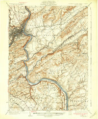
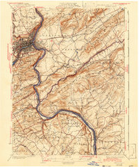
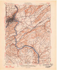
Editions of this 1932 Easton Map
5 editions found

Other maps of this area

1888 · Hackettstown
USGS Topo · 1:62,500

1888 · Quakertown
USGS Topo · 1:62,500

1890 · Easton
USGS Topo · 1:62,500

1890 · High Bridge
USGS Topo · 1:62,500

1890 · Lambertville
USGS Topo · 1:62,500

1890 · Doylestown
USGS Topo · 1:62,500

1890 · Quakertown
USGS Topo · 1:62,500

1891 · Easton
USGS Topo · 1:62,500

1891 · Lambertville
USGS Topo · 1:62,500

1891 · Doylestown
USGS Topo · 1:62,500