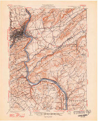
1932 Map of Easton
USGS Topo · Published 1948About this map
The confluence of the Lehigh River and Delaware River serves as the industrial and educational anchor for this 1932 topographic study, showing the established urban centers of Easton and Phillipsburg. The landscape is defined by the heavy infrastructure of early 20th-century commerce, including the Pennsylvania Canal and a dense network of railroads such as the Lehigh Valley Railroad and the Central Railroad of New Jersey. Above the riverbanks, Lafayette College overlooks the city, while the surrounding countryside is dotted with family-named schools like Wagner Sch and Brinker Sch.
Find a feature on this map
135 named features on this map. Tap any name to fly to it.
Don’t see what you’re looking for? This feature index may not catch every label — zoom into the map to look around manually.
Map Details
Editions of this 1932 Easton Map
5 editions found

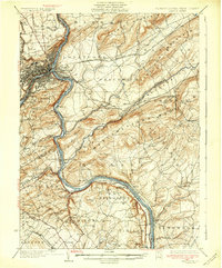
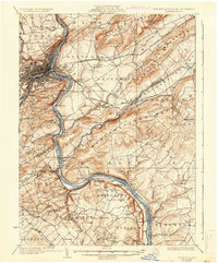
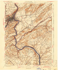
Other maps of this area

1888 · Hackettstown
USGS Topo · 1:62,500

1888 · Quakertown
USGS Topo · 1:62,500

1890 · Easton
USGS Topo · 1:62,500

1890 · High Bridge
USGS Topo · 1:62,500

1890 · Lambertville
USGS Topo · 1:62,500

1890 · Doylestown
USGS Topo · 1:62,500

1890 · Quakertown
USGS Topo · 1:62,500

1891 · Easton
USGS Topo · 1:62,500

1891 · Lambertville
USGS Topo · 1:62,500

1891 · Doylestown
USGS Topo · 1:62,500