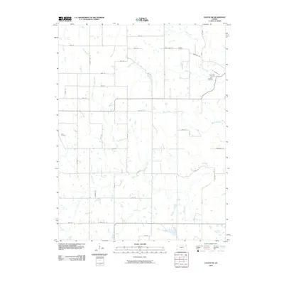
2009 Map of Easton SW
USGS Topo · Published 2009About this map
Agricultural lands and winding watercourses define this portion of Jefferson County during the first decade of the 21st century. The landscape is structured by a grid of rural roads such as Wise Rd and Mooney Creek Rd, connecting scattered homesteads across the drainage basins of Prairie Creek and Walnut Creek. Genealogists and local historians will find several burial grounds documented, including the Saint Lawrence Cemetery in the northeast and the Wise Cemetery to the west. The area's hydrology is complex, with numerous tributaries like Buttermilk Creek, Mooney Creek, and Hulls Branch carving through the terrain. This survey reflects the enduring rural character of the region, where naming conventions for local routes and landmarks often trace back to early settler families.
Find a feature on this map
50 named features on this map. Tap any name to fly to it.
Don’t see what you’re looking for? This feature index may not catch every label — zoom into the map to look around manually.
Map Details
Editions of this 2009 Easton SW Map
This is the sole edition of this map. No revisions or reprints were ever made.
Other maps of this area

1886 · Oskaloosa
USGS Topo · 1:125,000

1888 · Oskaloosa
USGS Topo · 1:125,000

1894 · Oskaloosa
USGS Topo · 1:125,000

1948 · Oak Mills
USGS Topo · 1:24,000

1948 · Jarbalo
USGS Topo · 1:24,000

1950 · Kansas City
USGS Topo · 1:250,000

1950 · Easton
USGS Topo · 1:24,000
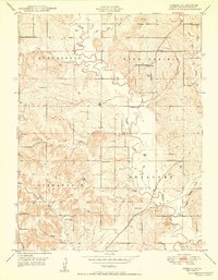
1950 · Jarbalo
USGS Topo · 1:24,000

1950 · Mc Louth
USGS Topo · 1:24,000
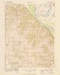
1951 · Oak Mills
USGS Topo · 1:24,000