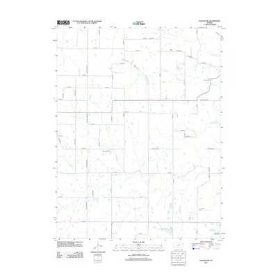
2012 Map of Easton SW
USGS Topo · Published 2012About this map
Walnut Cr and Prairie Cr meander through this rural section of Jefferson County, where a grid of section roads like Lecompton Rd and Limit Rd defines the agricultural landscape. The area preserves several historic burial grounds, including the Springdale Cem and the Springdale Friends Cem located in the southeastern quadrant, reflecting the early Quaker influence and settler heritage of the region.
Find a feature on this map
41 named features on this map. Tap any name to fly to it.
Don’t see what you’re looking for? This feature index may not catch every label — zoom into the map to look around manually.
Map Details
Editions of this 2012 Easton SW Map
This is the sole edition of this map. No revisions or reprints were ever made.
Other maps of this area

1886 · Oskaloosa
USGS Topo · 1:125,000

1888 · Oskaloosa
USGS Topo · 1:125,000

1894 · Oskaloosa
USGS Topo · 1:125,000

1948 · Oak Mills
USGS Topo · 1:24,000

1948 · Jarbalo
USGS Topo · 1:24,000

1950 · Kansas City
USGS Topo · 1:250,000

1950 · Easton
USGS Topo · 1:24,000
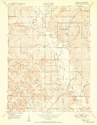
1950 · Jarbalo
USGS Topo · 1:24,000

1950 · Mc Louth
USGS Topo · 1:24,000
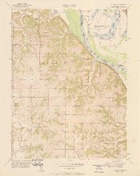
1951 · Oak Mills
USGS Topo · 1:24,000