
2016 Map of Easton SW
USGS Topo · Published 2016About this map
Jefferson and Leavenworth counties meet along a section line in this rural Kansas landscape, where the agricultural grid is deeply etched by a complex drainage network. Watercourses like Walnut Cr and Buttermilk Cr carve through the terrain, creating the varied topography that dictated local road placements and early settlement patterns. For genealogists, the map is particularly useful for its documentation of small, rural burial grounds, including Springdale Cem in the southeast and Hull Grove Cem to the northwest. The presence of Sanders Airport near Lecompton Rd highlights the modern utilitarian use of the open plains, while the numerous family-named creeks like Mooney Cr and Dawson Cr provide clues to the region's pioneering landholders. This survey captures a specific moment in the evolution of the Kansas countryside, balancing long-standing rural landmarks with contemporary infrastructure.
Find a feature on this map
46 named features on this map. Tap any name to fly to it.
Don’t see what you’re looking for? This feature index may not catch every label — zoom into the map to look around manually.
Map Details
Editions of this 2016 Easton SW Map
This is the sole edition of this map. No revisions or reprints were ever made.
Other maps of this area
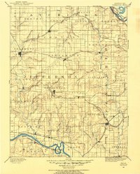
1886 · Oskaloosa
USGS Topo · 1:125,000
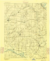
1888 · Oskaloosa
USGS Topo · 1:125,000
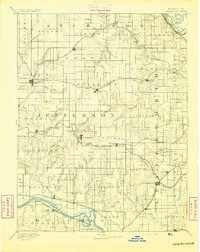
1894 · Oskaloosa
USGS Topo · 1:125,000
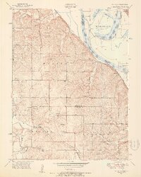
1948 · Oak Mills
USGS Topo · 1:24,000
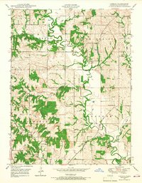
1948 · Jarbalo
USGS Topo · 1:24,000
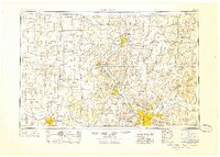
1950 · Kansas City
USGS Topo · 1:250,000
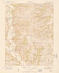
1950 · Easton
USGS Topo · 1:24,000
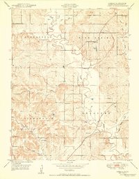
1950 · Jarbalo
USGS Topo · 1:24,000
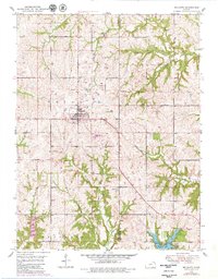
1950 · Mc Louth
USGS Topo · 1:24,000
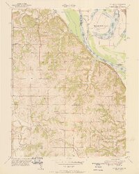
1951 · Oak Mills
USGS Topo · 1:24,000