
2018 Map of Easton SW
USGS Topo · Published 2018About this map
Easton lies along the eastern edge of this agricultural landscape in northeastern Kansas, where the rolling divide between Jefferson and Leavenworth counties is defined by an intricate network of creeks. Watercourses like Walnut Cr, Mooney Cr, and Buttermilk Cr carve through the terrain, dictating the placement of rural roads and historical property lines. The map reveals a high concentration of small family and community burial grounds, including Hull Grove Cem, Langley Cem, and Wise Cem, which serve as vital markers for genealogical research in this sparsely populated region. A distinctive aviation landmark, Sanders Airport, is situated centrally among the section lines, while the southern reaches are dominated by the winding paths of Prairie Cr and Scatter Cr.
Find a feature on this map
50 named features on this map. Tap any name to fly to it.
Don’t see what you’re looking for? This feature index may not catch every label — zoom into the map to look around manually.
Map Details
Editions of this 2018 Easton SW Map
This is the sole edition of this map. No revisions or reprints were ever made.
Other maps of this area
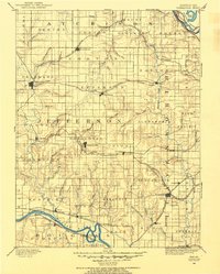
1886 · Oskaloosa
USGS Topo · 1:125,000
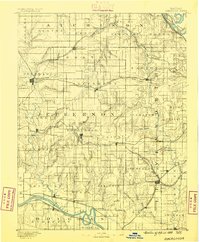
1888 · Oskaloosa
USGS Topo · 1:125,000
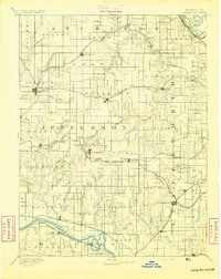
1894 · Oskaloosa
USGS Topo · 1:125,000
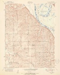
1948 · Oak Mills
USGS Topo · 1:24,000
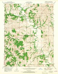
1948 · Jarbalo
USGS Topo · 1:24,000
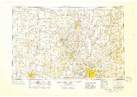
1950 · Kansas City
USGS Topo · 1:250,000
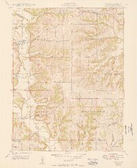
1950 · Easton
USGS Topo · 1:24,000
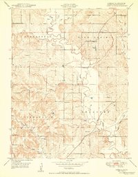
1950 · Jarbalo
USGS Topo · 1:24,000
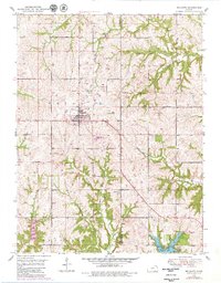
1950 · Mc Louth
USGS Topo · 1:24,000
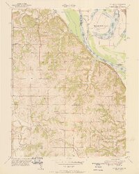
1951 · Oak Mills
USGS Topo · 1:24,000