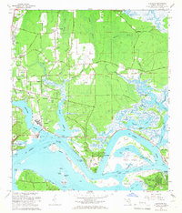
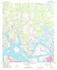
1964 Map of Eastport
USGS Topo · Published 1966About this map
The St Johns River defines the landscape of this 1960s survey, where the deep-water channels of the Back River and Dame Point Cut Off wrap around significant landforms like Blount Island and Quarantine Island. This era captures the coastal character of Duval County before major modern expansions, showing established riverfront settlements such as New Berlin and Eastport. Historically significant sites like the Yellow Bluff Fort stand near the confluence of Dunn Creek and the main river, while the presence of the U S Naval Reservation and Imeson Airport highlights the mid-century transportation and military infrastructure.
Find a feature on this map
92 named features on this map. Tap any name to fly to it.
Don’t see what you’re looking for? This feature index may not catch every label — zoom into the map to look around manually.
Map Details
Editions of this 1964 Eastport Map
7 editions found
Other maps of this area

1918 · St Marys
USGS Topo · 1:62,500

1918 · Jacksonville
USGS Topo · 1:62,500

1918 · Mayport
USGS Topo · 1:62,500

1919 · Fernandina
USGS Topo · 1:62,500

1919 · St Marys
USGS Topo · 1:62,500

1944 · Fernandina
USGS Topo · 1:62,500

1948 · Jacksonville
USGS Topo · 1:250,000

1948 · Jacksonville Beach
USGS Topo · 1:24,000

1948 · Eastport
USGS Topo · 1:24,000

1949 · Jacksonville Beach
USGS Topo · 1:24,000
Featured Places
- Jacksonville, FL
- New Berlin, Jacksonville
- Fort Caroline, Jacksonville
- Polly Town, Jacksonville
- Dames Point Manor, Jacksonville