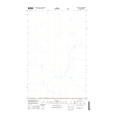
2013 Map of Eastport OE N
USGS Topo · Published 2013About this map
The Moyie River winds through this northern borderland where the United States and Canada meet along the boundary of Idaho and British Columbia. This 2013 survey illustrates a landscape dominated by a network of tributaries, including the Little Moyie River and Elmira Cr, which feed the river as it flows south toward the Kaniksu National Forest. The map documents a sparsely settled region of the Boundary Co panhandle, defined by its complex hydrology and the international dividing line. Numerous smaller drainages such as Rainy Cr, Kristina Cr, and Kitchener Cr are meticulously charted, providing a detailed record of the watersheds that shape this wilderness area at the start of the 21st century.
Find a feature on this map
14 named features on this map. Tap any name to fly to it.
Don’t see what you’re looking for? This feature index may not catch every label — zoom into the map to look around manually.
Map Details
Editions of this 2013 Eastport OE N Map
This is the sole edition of this map. No revisions or reprints were ever made.
Other maps of this area
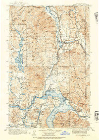
1911 · Priest Lake
USGS Topo · 1:250,000
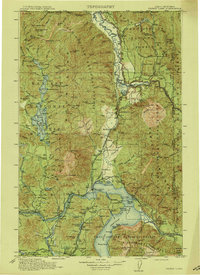
1913 · Priest Lake
USGS Topo · 1:250,000
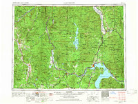
1958 · Sandpoint
USGS Topo · 1:250,000
1963 · Sandpoint
USGS Topo · 1:250,000
1965 · Eastport
USGS Topo · 1:24,000
1965 · Canuck Peak
USGS Topo · 1:24,000
1965 · Hall Mountain
USGS Topo · 1:24,000
1983 · Bonners Ferry
USGS Topo · 1:100,000
1996 · Hall Mountain
USGS Topo · 1:24,000
1996 · Canuck Peak
USGS Topo · 1:24,000