
2017 Map of Eastport OE N
USGS Topo · Published 2017About this map
The Moyie River winds through the southern reaches of this landscape, marking a significant drainage corridor along the Canada and United States border. This 2017 survey details the remote backcountry of the Kaniksu National Forest, where a network of tributaries feeds the primary river system. Numerous named streams, such as Little Moyie River, Kitchener Cr, and Kristina Cr, reveal the intricate hydrology of this high-elevation region.
Find a feature on this map
12 named features on this map. Tap any name to fly to it.
Don’t see what you’re looking for? This feature index may not catch every label — zoom into the map to look around manually.
Map Details
Editions of this 2017 Eastport OE N Map
This is the sole edition of this map. No revisions or reprints were ever made.
Other maps of this area
1911 · Priest Lake
USGS Topo · 1:250,000
1913 · Priest Lake
USGS Topo · 1:250,000

1958 · Sandpoint
USGS Topo · 1:250,000

1963 · Sandpoint
USGS Topo · 1:250,000
1965 · Eastport
USGS Topo · 1:24,000
1965 · Canuck Peak
USGS Topo · 1:24,000
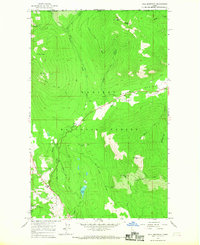
1965 · Hall Mountain
USGS Topo · 1:24,000
1983 · Bonners Ferry
USGS Topo · 1:100,000
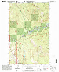
1996 · Hall Mountain
USGS Topo · 1:24,000
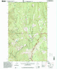
1996 · Canuck Peak
USGS Topo · 1:24,000