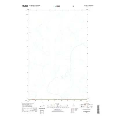
2020 Map of Eastport OE N
USGS Topo · Published 2020About this map
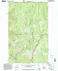
Kaniksu National Forest defines the southern reaches of this specialized border survey, where the international boundary between Canada and the United States is meticulously documented. The terrain is characterized by a dense network of unnamed drainages and high-elevation hydrology, illustrating the complex watershed along the northern edge of Idaho. While the settlement of Eastport is identified near the southern margin, the map's primary focus remains on the remote wilderness and the precise demarcation of the T65n R2e township line. This 2020 edition provides researchers with a contemporary view of the land as it meets the Canadian frontier, capturing the untouched character of the high country before the drainages flow south toward more populated valley floors.
Find a feature on this map
4 named features on this map. Tap any name to fly to it.
Don’t see what you’re looking for? This feature index may not catch every label — zoom into the map to look around manually.
Map Details
Editions of this 2020 Eastport OE N Map
This is the sole edition of this map. No revisions or reprints were ever made.
Other maps of this area

1911 · Priest Lake
USGS Topo · 1:250,000

1913 · Priest Lake
USGS Topo · 1:250,000

1958 · Sandpoint
USGS Topo · 1:250,000

1963 · Sandpoint
USGS Topo · 1:250,000

1965 · Eastport
USGS Topo · 1:24,000
1965 · Canuck Peak
USGS Topo · 1:24,000

1965 · Hall Mountain
USGS Topo · 1:24,000
1983 · Bonners Ferry
USGS Topo · 1:100,000
1996 · Hall Mountain
USGS Topo · 1:24,000
1996 · Canuck Peak
USGS Topo · 1:24,000