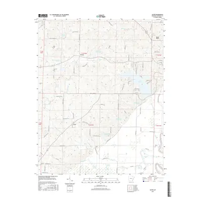
2017 Map of Eaton
USGS Topo · Published 2017About this map
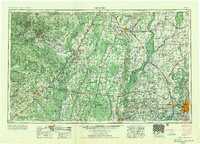
Black Rock and the surrounding Lawrence County countryside are defined by the winding course of the Black River and a sophisticated network of water management reservoirs. The landscape is dotted with ancestral landmarks, including the Powhatan Cem and Old Bethel Cem near the western hills. The small communities of Denton and Eaton serve as central nodes for the agricultural lands, which are crisscrossed by named routes like Bethel Cemetery Rd and Robinson Bay Rd.
Find a feature on this map
91 named features on this map. Tap any name to fly to it.
Don’t see what you’re looking for? This feature index may not catch every label — zoom into the map to look around manually.
Map Details
Editions of this 2017 Eaton Map
This is the sole edition of this map. No revisions or reprints were ever made.
Other maps of this area
1932 · Strawberry
USGS Topo · 1:62,500
1934 · Powhatan
USGS Topo · 1:62,500
1935 · Powhatan
USGS Topo · 1:62,500
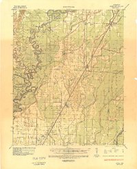
1935 · Alicia
USGS Topo · 1:62,500
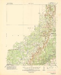
1935 · Strawberry
USGS Topo · 1:62,500
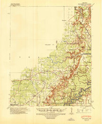
1941 · Strawberry
USGS Topo · 1:62,500

1953 · Memphis
USGS Topo · 1:250,000
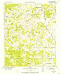
1955 · Strawberry
USGS Topo · 1:24,000
1956 · Memphis
USGS Topo · 1:250,000

1957 · Poplar Bluff
USGS Topo · 1:250,000