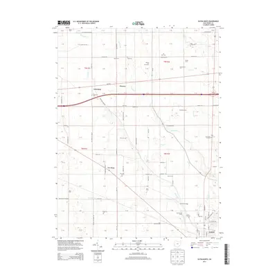
2013 Map of Eaton North
USGS Topo · Published 2013About this map
Agricultural lands north of Eaton are defined by a dense network of family farms and small rural settlements during this 2013 survey. The landscape is deeply tied to its waterways, with Sevenmile Creek, Bantas Fork, and Periwinkle Run draining the fertile Preble County soil. This region retains a high concentration of generational landholdings, visible through named properties such as National Trail Family Farm, Studebaker Farms, and Miller Farms.
Find a feature on this map
112 named features on this map. Tap any name to fly to it.
Don’t see what you’re looking for? This feature index may not catch every label — zoom into the map to look around manually.
Map Details
Editions of this 2013 Eaton North Map
This is the sole edition of this map. No revisions or reprints were ever made.
Other maps of this area

1911 · Oxford
USGS Topo · 1:62,500

1915 · New Paris
USGS Topo · 1:48,000

1915 · College Corner
USGS Topo · 1:48,000

1918 · College Corner
USGS Topo · 1:62,500

1918 · New Paris
USGS Topo · 1:62,500

1953 · Cincinnati
USGS Topo · 1:250,000

1957 · Cincinnati
USGS Topo · 1:250,000

1960 · New Madison
USGS Topo · 1:24,000

1960 · Fairhaven
USGS Topo · 1:24,000
1960 · Whitewater
USGS Topo · 1:24,000