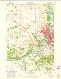
1972 Map of Eau Claire West
USGS Topo · Published 1975About this map
The Chippewa River carves a deep industrial and recreational corridor through this portion of western Wisconsin, anchored by the dense urban grid of Eau Claire. The map reveals the city’s expansion across the water, where landmarks like Mt Simon and Mt Washington provide dramatic vertical relief against the riverbanks. The local economy and social fabric are traced through a high density of civic institutions, including the Univ of Wisconsin, Sacred Heart Hosp, and the Mt Washington Sanatorium.
Find a feature on this map
105 named features on this map. Tap any name to fly to it.
Don’t see what you’re looking for? This feature index may not catch every label — zoom into the map to look around manually.
Map Details
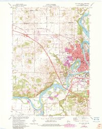
Editions of this 1972 Eau Claire West Map
2 editions found
Other maps of this area

1927 · Strum
USGS Topo · 1:62,500

1930 · Strum
USGS Topo · 1:62,500

1932 · Mondovi
USGS Topo · 1:62,500

1934 · Elk Mound
USGS Topo · 1:62,500

1934 · Chippewa Falls
USGS Topo · 1:62,500

1936 · Chippewa Falls
USGS Topo · 1:62,500

1936 · Elk Mound
USGS Topo · 1:62,500

1953 · Eau Claire
USGS Topo · 1:250,000

1958 · Eau Claire
USGS Topo · 1:250,000

1964 · Eau Claire
USGS Topo · 1:250,000