
1972 Map of Eau Claire West
USGS Topo · Published 1983About this map
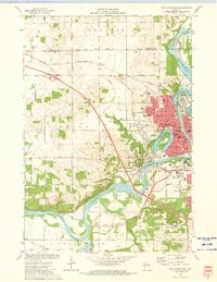
The Chippewa River carves a winding path through the heart of this landscape, defining the industrial and social layout of West Eau Claire during the early 1970s. The river's influence is evident in the cluster of parks and civic landmarks, from Dells Dam in the north to the oxbow of Halfmoon Lake, where Carson Park and the Lakeview Cemetery sit. Institutional life is well-documented, featuring the Mt Washington Sanatorium, the Univ of Wisconsin campus, and numerous parochial and public schools like St Bedes Academy and the Little Red Sch.
Find a feature on this map
90 named features on this map. Tap any name to fly to it.
Don’t see what you’re looking for? This feature index may not catch every label — zoom into the map to look around manually.
Map Details
Editions of this 1972 Eau Claire West Map
2 editions found
Other maps of this area

1927 · Strum
USGS Topo · 1:62,500

1930 · Strum
USGS Topo · 1:62,500

1932 · Mondovi
USGS Topo · 1:62,500

1934 · Elk Mound
USGS Topo · 1:62,500

1934 · Chippewa Falls
USGS Topo · 1:62,500

1936 · Chippewa Falls
USGS Topo · 1:62,500

1936 · Elk Mound
USGS Topo · 1:62,500

1953 · Eau Claire
USGS Topo · 1:250,000

1958 · Eau Claire
USGS Topo · 1:250,000

1964 · Eau Claire
USGS Topo · 1:250,000