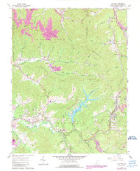
1965 Map of Eccles
USGS Topo · Published 1989About this map
Stephens Lake dominates the central landscape of this Raleigh County region, its jagged shoreline and spillway illustrating the mid-century engineering that altered the local topography. The map reveals a transition from the traditional ridge-and-valley settlement patterns to modern industrial and residential growth, particularly evident near Glen Daniel and Eccles. Along the southern reaches, the Old Railroad Grade and Virginia Turnpike trace historical transit corridors that once linked these coal-producing hills to broader markets.
Find a feature on this map
94 named features on this map. Tap any name to fly to it.
Don’t see what you’re looking for? This feature index may not catch every label — zoom into the map to look around manually.
Map Details
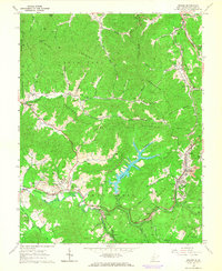
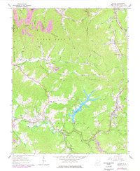
Editions of this 1965 Eccles Map
3 editions found
Other maps of this area

1891 · Raleigh
USGS Topo · 1:125,000

1897 · Raleigh
USGS Topo · 1:125,000

1902 · Raleigh
USGS Topo · 1:125,000

1911 · Marshes
USGS Topo · 1:48,000

1911 · Flattop
USGS Topo · 1:48,000

1911 · Beckley
USGS Topo · 1:48,000

1912 · Mullens
USGS Topo · 1:62,500

1913 · Beckley
USGS Topo · 1:62,500

1914 · Eccles
USGS Topo · 1:62,500

1914 · Flattop
USGS Topo · 1:62,500