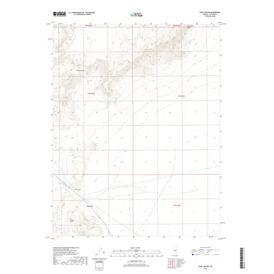
2018 Map of Echo Canyon
USGS Topo · Published 2018About this map
Pancake Range and the northern reaches of the Reveille Range dominate this high-desert landscape in Nye County. The map details a rugged transition from high ridgelines down to the drainage of Hot Cr, which winds through the central and eastern sections of the quadrangle. In the southwestern corner, the small settlement of Twin Springs serves as a primary point of interest near the mouth of Echo Canyon. The terrain is characterized by dramatic elevation changes, notably at Big Fault Ridge in the northeast. This 2018 edition reveals the sparse road network and hydraulic features typical of Nevada's interior basins, providing a precise look at the township and range intersections including t4n r52e and t5n r53e as they define this remote territory.
Find a feature on this map
12 named features on this map. Tap any name to fly to it.
Don’t see what you’re looking for? This feature index may not catch every label — zoom into the map to look around manually.
Map Details
Editions of this 2018 Echo Canyon Map
This is the sole edition of this map. No revisions or reprints were ever made.
Other maps of this area

1956 · Lund
USGS Topo · 1:250,000

1956 · Tonopah
USGS Topo · 1:250,000

1959 · Tonopah
USGS Topo · 1:250,000

1960 · Lund
USGS Topo · 1:250,000

1962 · Tonopah
USGS Topo · 1:250,000
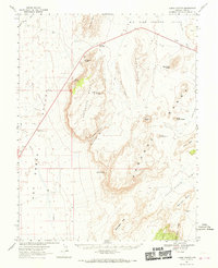
1967 · Lunar Crater
USGS Topo · 1:62,500
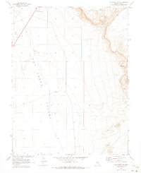
1967 · Buckwheat Rim
USGS Topo · 1:24,000
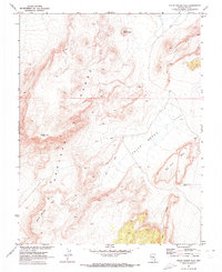
1967 · Chuck Wagon Flat
USGS Topo · 1:24,000
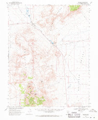
1968 · Reveille
USGS Topo · 1:62,500
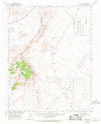
1968 · The Wall
USGS Topo · 1:62,500