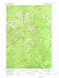
1955 Map of Echo Mountain
USGS Topo · Published 1980About this map
Willamette National Forest encompasses this mid-1950s landscape, a region defined by its high-altitude lookout points and distinct alpine meadows. Notable summits like Crescent Mtn and Echo Mtn dominate the terrain, while fire lookouts are established at Wildcat Mtn and Carpenter Mtn. These strategic positions overlooking the Middle Santiam River reflect the mid-century infrastructure of forest management and fire suppression. Open spaces such as Tombstone Prairie, Wolf Meadow, and Smith Prairie provide essential breaks in the dense timber, serving as landmarks for local navigation. The presence of several Gaging Stations along the waterways suggests a focus on hydrologic monitoring during this era. Traceable paths like the Pyramid Trail and Maude Trail connect these remote peaks, offering a view into the historical recreation and access routes through the Oregon Cascades.
Find a feature on this map
76 named features on this map. Tap any name to fly to it.
Don’t see what you’re looking for? This feature index may not catch every label — zoom into the map to look around manually.
Map Details
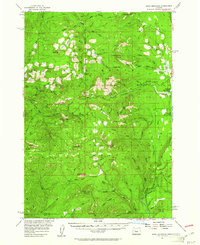
Editions of this 1955 Echo Mountain Map
3 editions found

Other maps of this area

1927 · Mt. Jefferson
USGS Topo · 1:125,000

1929 · Mill City
USGS Topo · 1:125,000

1929 · Three Sisters
USGS Topo · 1:125,000

1930 · Mt. Jefferson
USGS Topo · 1:125,000

1932 · Three Sisters
USGS Topo · 1:125,000

1934 · Mc Kenzie Bridge
USGS Topo · 1:96,000

1940 · Mc Kenzie Bridge
USGS Topo · 1:125,000

1953 · Salem
USGS Topo · 1:250,000

1954 · Salem
USGS Topo · 1:250,000

1955 · Blue River
USGS Topo · 1:62,500