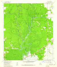
1960 Map of Echo
USGS Topo · Published 1961About this map
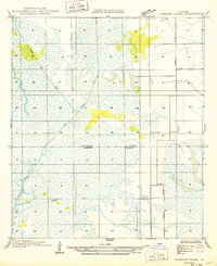
The Sabine River winds through a dense landscape of bayous and swampy bottomlands along the Texas-Louisiana border in this 1960 revision. The river's serpentine path is marked by numerous landmarks such as Niblett Bluff, Pruitt Bluff, and Morgan Bluff, reflecting a geography defined by the high ground rising above the flood-prone basin. Inland, the Sabine Canal cuts a straight line through the terrain, contrasting with the natural meanders of Indian Bayou and Cooper Bayou.
Find a feature on this map
57 named features on this map. Tap any name to fly to it.
Don’t see what you’re looking for? This feature index may not catch every label — zoom into the map to look around manually.
Map Details
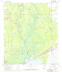
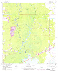
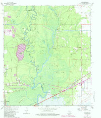
Editions of this 1960 Echo Map
4 editions found
Other maps of this area

1926 · Mauriceville
USGS Topo · 1:24,000

1932 · Orange
USGS Topo · 1:62,500

1943 · Orangefield
USGS Topo · 1:24,000

1943 · Mauriceville
USGS Topo · 1:24,000

1946 · Phoenix Lake
USGS Topo · 1:31,680

1947 · Starks
USGS Topo · 1:31,680

1947 · Vinton
USGS Topo · 1:31,680

1947 · Toomey
USGS Topo · 1:31,680

1947 · Lunita
USGS Topo · 1:31,680
1949 · Cameron Farms
USGS Topo · 1:31,680