1960 Map of Echo
USGS Topo · Published 1984About this map
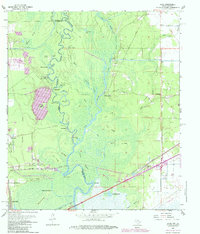
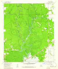
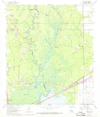
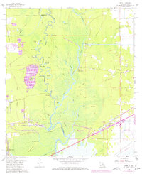
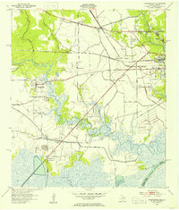
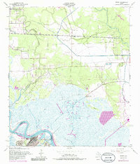
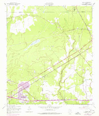
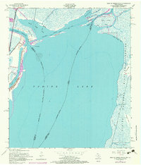
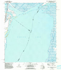
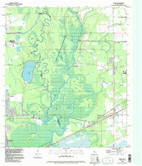
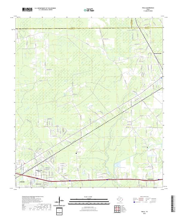
The Sabine River forms a complex boundary between Texas and Louisiana in this mid-century topographic record, where the river's winding course creates a landscape of cutoffs and bayous. The map captures the transition from the low-lying wetlands of Tupelo Swamp and Holden Slough to established settlements like Echo and Toomey. The terrain is defined by elevated ridges such as Beef Ridge and Pine Ridge, which provided stable ground for early roads and farming away from the tidal influence of the river. The southern portion of the sheet is dominated by the Southern Pacific railroad corridor, a vital artery for the regional timber and oil economies. Genealogists can locate several small family burial grounds, including Lee Cem and Granger Cem, tucked away in the rural pockets between the river and the interstate highway expansion.
Find a feature on this map
60 named features on this map. Tap any name to fly to it.
Don’t see what you’re looking for? This feature index may not catch every label — zoom into the map to look around manually.
Map Details
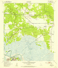
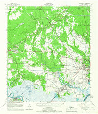
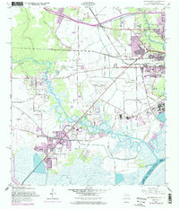
Editions of this 1960 Echo Map
4 editions found
Historical Maps of Orange Through Time
20 maps found

1926 Lakeview
Orange County, TX

1926 Terry
Orange County, TX

1926 Texla
Orange County, TX
1943 Orangefield
Orange County, TX
1943 Terry
Orange County, TX

1943 Texla
Orange County, TX

1943 West of Greens Bayou
Orange County, TX
1957 Orangefield
Orange County, TX
1957 Orangefield
Orange County, TX
1957 Terry
Orange County, TX
1957 Texla
Orange County, TX
1957 West of Greens Bayou
Orange County, TX
1960 Echo
Orange County, TX
1993 West of Greens Bayou
Orange County, TX
1994 Echo
Orange County, TX
2022 Echo
Orange County, TX
2022 Orangefield
Orange County, TX
2022 Terry
Orange County, TX
2022 Texla
Orange County, TX
2022 West of Greens Bayou
Orange County, TX