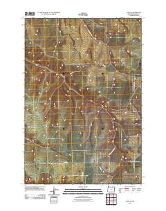
2011 Map of Echo SE
USGS Topo · Published 2011About this map
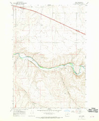
Speare Canyon and the drainage systems of southern Umatilla County define this high desert landscape south of the Umatilla River. The map documents a sparsely populated rural area primarily organized by a geometric grid of county roads that navigate the complex topography of deep canyons and plateaus. Historical movement through these corridors is evident in the winding path of Speare Canyon Rd and Mud Springs Canyon Rd, which follow the natural contours of the land. Other routes like Co 1383 Rd, Co 1394 Rd, and Blanchet Ln provide access to the expansive agricultural or grazing lands that characterize this part of eastern Oregon. This 2011 survey serves as a detailed record of land use and rural infrastructure in the high country before modern developments altered these traditional rural corridors.
Find a feature on this map
7 named features on this map. Tap any name to fly to it.
Don’t see what you’re looking for? This feature index may not catch every label — zoom into the map to look around manually.
Map Details
Editions of this 2011 Echo SE Map
This is the sole edition of this map. No revisions or reprints were ever made.
Other maps of this area
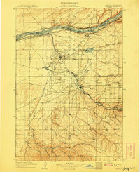
1908 · Umatilla
USGS Topo · 1:125,000
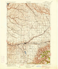
1935 · Pendleton
USGS Topo · 1:125,000

1953 · Pendleton
USGS Topo · 1:250,000

1956 · Pendleton
USGS Topo · 1:250,000
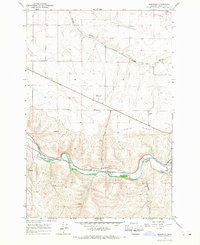
1966 · Barnhart
USGS Topo · 1:24,000
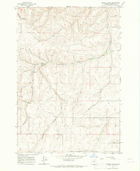
1966 · Coombs Canyon
USGS Topo · 1:24,000
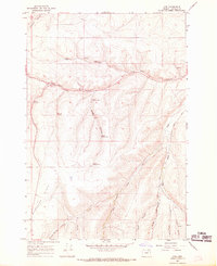
1967 · Nye
USGS Topo · 1:24,000
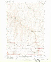
1968 · Echo SE
USGS Topo · 1:24,000
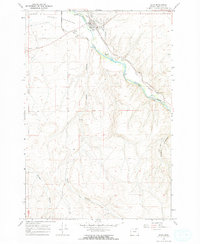
1968 · Echo
USGS Topo · 1:24,000
1968 · Nolin
USGS Topo · 1:24,000