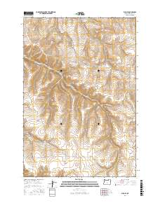
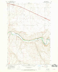
2017 Map of Echo SE
USGS Topo · Published 2017About this map
Alkali Canyon and its associated Alkali Canyon Rd define the western portion of this high-desert landscape in Umatilla County. This 2017 survey reveals an area primarily characterized by deeply incised drainage systems and a grid of rural access routes following the section lines and canyon floors. To the east, Speare Canyon and Mud Spring Canyon cut through the plateau, reflecting the complex hydrology of the region. The map provides clear evidence of agricultural or ranching infrastructure through the naming of family-related routes like Roumagoux Rd and Speare Canyon Rd. These labels offer a connection to the local landholders and the logistical network required to navigate the area's prominent topographical features, such as Spikes Gulch and Slusher Canyon, which vary significantly in elevation across the township boundaries.
Find a feature on this map
14 named features on this map. Tap any name to fly to it.
Don’t see what you’re looking for? This feature index may not catch every label — zoom into the map to look around manually.
Map Details
Editions of this 2017 Echo SE Map
This is the sole edition of this map. No revisions or reprints were ever made.
Other maps of this area
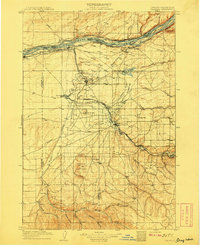
1908 · Umatilla
USGS Topo · 1:125,000
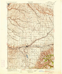
1935 · Pendleton
USGS Topo · 1:125,000

1953 · Pendleton
USGS Topo · 1:250,000

1956 · Pendleton
USGS Topo · 1:250,000
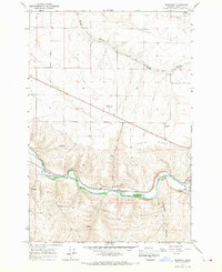
1966 · Barnhart
USGS Topo · 1:24,000
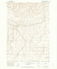
1966 · Coombs Canyon
USGS Topo · 1:24,000
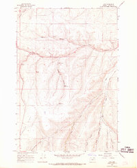
1967 · Nye
USGS Topo · 1:24,000
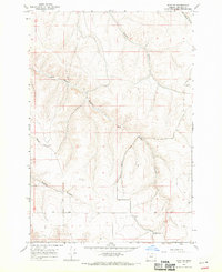
1968 · Echo SE
USGS Topo · 1:24,000
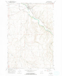
1968 · Echo
USGS Topo · 1:24,000
1968 · Nolin
USGS Topo · 1:24,000