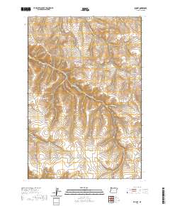
2020 Map of Echo SE
USGS Topo · Published 2020About this map
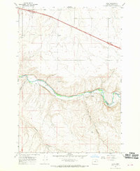
Alkali Canyon and its network of dry washes define this section of Umatilla County, illustrating the deeply incised drainage patterns characteristic of the Oregon high desert. The 2020 landscape is marked by a series of significant canyons including Slusher Canyon, Speare Canyon, and the distinct Spikes Gulch. Human presence is traced through a system of rural county roads that follow these natural contours, such as Roumagoux Rd and Mud Springs Cnyn Rd. This survey reflects the modern agricultural and ranching layout of the region, where land use is dictated by the availability of water at features like Mud Spring Canyon. The map provides a precise look at the township and range divisions, showing the intersection of T1N, T2N, and T1S, which continue to govern property boundaries in this rural expanse.
Find a feature on this map
15 named features on this map. Tap any name to fly to it.
Don’t see what you’re looking for? This feature index may not catch every label — zoom into the map to look around manually.
Map Details
Editions of this 2020 Echo SE Map
This is the sole edition of this map. No revisions or reprints were ever made.
Other maps of this area
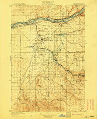
1908 · Umatilla
USGS Topo · 1:125,000
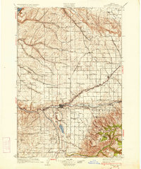
1935 · Pendleton
USGS Topo · 1:125,000

1953 · Pendleton
USGS Topo · 1:250,000

1956 · Pendleton
USGS Topo · 1:250,000
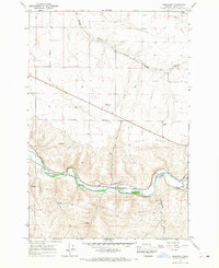
1966 · Barnhart
USGS Topo · 1:24,000
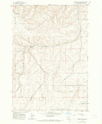
1966 · Coombs Canyon
USGS Topo · 1:24,000
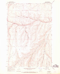
1967 · Nye
USGS Topo · 1:24,000
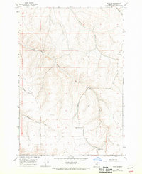
1968 · Echo SE
USGS Topo · 1:24,000
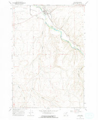
1968 · Echo
USGS Topo · 1:24,000
1968 · Nolin
USGS Topo · 1:24,000