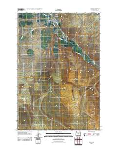
2011 Map of Echo
USGS Topo · Published 2011About this map
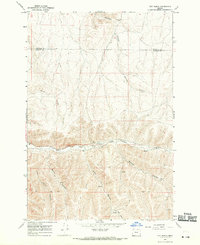
Echo sits at the heart of this Umatilla County landscape, where the Umatilla River and the artificial Furnish Ditch define the local water management essential to the region's agricultural character. This 2011 survey reveals the town's compact grid, anchored by the Echo Post Office and bordered by the expansive geography of Alkali Canyon. To the north, the presence of both the Echo Cemetery and the Siphon Cemetery provides a tangible link for those tracing family history in the area. The surrounding terrain is marked by a network of rural routes such as Lexington Echo Hwy and White House Rd, illustrating the modern transit patterns that connect these eastern Oregon communities. The map highlights the intersection of natural river bends and the engineered ditches that have shaped the settlement's development over time.
Find a feature on this map
19 named features on this map. Tap any name to fly to it.
Don’t see what you’re looking for? This feature index may not catch every label — zoom into the map to look around manually.
Map Details
Editions of this 2011 Echo Map
This is the sole edition of this map. No revisions or reprints were ever made.
Other maps of this area
1908 · Umatilla
USGS Topo · 1:125,000

1953 · Pendleton
USGS Topo · 1:250,000

1956 · Pendleton
USGS Topo · 1:250,000
1962 · Stanfield
USGS Topo · 1:24,000
1962 · Hermiston
USGS Topo · 1:24,000
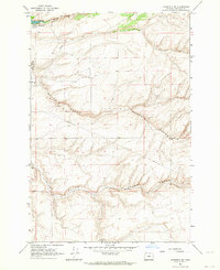
1962 · Stanfield SE
USGS Topo · 1:24,000
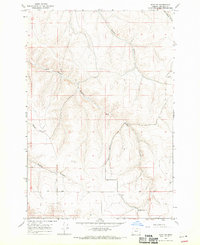
1968 · Echo SE
USGS Topo · 1:24,000
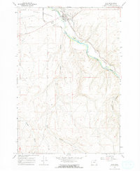
1968 · Echo
USGS Topo · 1:24,000
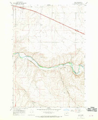
1968 · Nolin
USGS Topo · 1:24,000
1968 · Vey Ranch
USGS Topo · 1:24,000