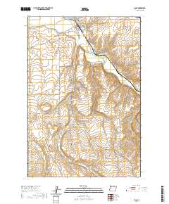
2020 Map of Echo
USGS Topo · Published 2020About this map
Echo sits at a critical junction of historical and modern transit in Umatilla County, where the Umatilla River carves through the arid landscape. The town's grid, including Thielson St and Gerone St, is flanked by the Echo Memorial Cem and essential water infrastructure like the Furnish Ditch. This geography reflects a long history of overland travel, evidenced by Oregon Trail Rd and the Old Pendleton River Rd winding through the terrain.
Find a feature on this map
28 named features on this map. Tap any name to fly to it.
Don’t see what you’re looking for? This feature index may not catch every label — zoom into the map to look around manually.
Map Details
Editions of this 2020 Echo Map
This is the sole edition of this map. No revisions or reprints were ever made.
Other maps of this area

1908 · Umatilla
USGS Topo · 1:125,000

1953 · Pendleton
USGS Topo · 1:250,000

1956 · Pendleton
USGS Topo · 1:250,000

1962 · Stanfield
USGS Topo · 1:24,000

1962 · Hermiston
USGS Topo · 1:24,000

1962 · Stanfield SE
USGS Topo · 1:24,000
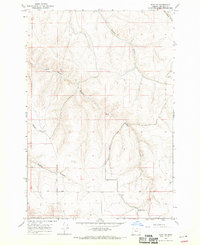
1968 · Echo SE
USGS Topo · 1:24,000
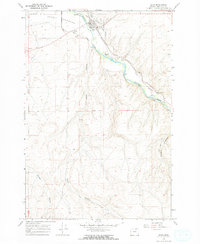
1968 · Echo
USGS Topo · 1:24,000
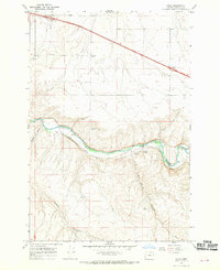
1968 · Nolin
USGS Topo · 1:24,000

1968 · Vey Ranch
USGS Topo · 1:24,000