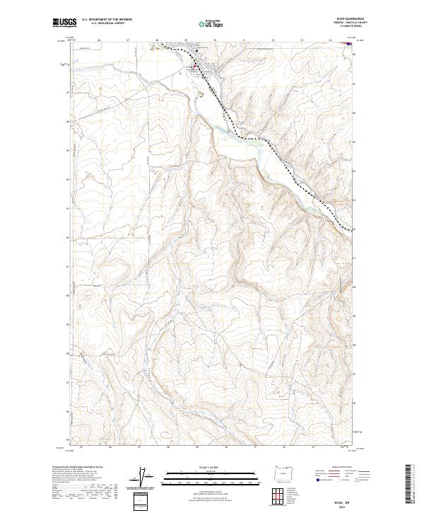
2024 Map of Echo
USGS Topo · Published 2024About this map
The Echo settlement sits along the banks of the Umatilla River, marking a historic transit point in Umatilla County. The town's grid is defined by streets such as Thielson St and S Kennedy St, while the nearby Echo Memorial Cem serves as a vital anchor for local genealogical research. The surrounding landscape is characterized by a network of drainage and irrigation, including the Furnish Ditch which cuts across the terrain north of the river.
Find a feature on this map
26 named features on this map. Tap any name to fly to it.
Don’t see what you’re looking for? This feature index may not catch every label — zoom into the map to look around manually.
Map Details
Editions of this 2024 Echo Map
This is the sole edition of this map. No revisions or reprints were ever made.
Other maps of this area

1908 · Umatilla
USGS Topo · 1:125,000

1953 · Pendleton
USGS Topo · 1:250,000

1956 · Pendleton
USGS Topo · 1:250,000

1962 · Stanfield
USGS Topo · 1:24,000

1962 · Hermiston
USGS Topo · 1:24,000

1962 · Stanfield SE
USGS Topo · 1:24,000
1968 · Echo SE
USGS Topo · 1:24,000
1968 · Echo
USGS Topo · 1:24,000
1968 · Nolin
USGS Topo · 1:24,000

1968 · Vey Ranch
USGS Topo · 1:24,000