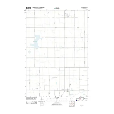
2010 Map of Echo
USGS Topo · Published 2010About this map
The agricultural plains of Redwood County are anchored by the small communities of Echo and Vesta in this 2010 survey. The landscape is defined by a dense grid of section roads and a sophisticated water management system, illustrated by numerous channels like Judicial Ditch Number Thirtyseven and County Ditch Number Ninety-six. In the south, the Redwood River cuts across the corner near Vesta, where the Vesta Post Office and local Vesta Cemetery serve the town. To the north, Echo is situated near Boiling Spring Creek, featuring its own Echo Post Office and the German Cemetery. Significant for genealogists, the map also identifies the Holy Name Catholic Church Cemetery west of Vesta. The central part of the quadrangle is dominated by the waters of Curtis Lake, while the Schmidt Airport provides a small aviation hub amidst the expansive farmland.
Find a feature on this map
45 named features on this map. Tap any name to fly to it.
Don’t see what you’re looking for? This feature index may not catch every label — zoom into the map to look around manually.
Map Details
Editions of this 2010 Echo Map
This is the sole edition of this map. No revisions or reprints were ever made.
Other maps of this area

1953 · New Ulm
USGS Topo · 1:250,000

1957 · New Ulm
USGS Topo · 1:250,000

1958 · New Ulm
USGS Topo · 1:250,000

1962 · School Grove Lake
USGS Topo · 1:24,000

1962 · Wood Lake
USGS Topo · 1:24,000

1962 · Milroy
USGS Topo · 1:24,000

1965 · Echo
USGS Topo · 1:24,000

1965 · Lone Tree Lake
USGS Topo · 1:24,000

1965 · Belview
USGS Topo · 1:24,000

1965 · Iverson Lake
USGS Topo · 1:24,000