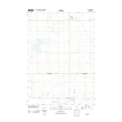
2013 Map of Echo
USGS Topo · Published 2013About this map
Echo and Vesta anchor this southwestern Minnesota agricultural landscape along the border of Yellow Medicine and Redwood counties. The terrain is defined by a dense network of engineered drainage features like County Ditch Number Ninetytwo and Judicial Ditch Number Thirtytwo, illustrating the intensive land management required for prairie farming. Natural water features persist at Curtis Lake and where the Redwood River meanders across the southern section of the survey. Local genealogy and community history are preserved in the locations of the German Cem, the Vesta Cem, and the Holy Name Catholic Church Cem. Transportation is dominated by a strict grid of section-line roads, including Eagle Ave and Co Hwy-30, while the Schmidt Private Airport provides a modern utilitarian landmark in this rural expanse.
Find a feature on this map
50 named features on this map. Tap any name to fly to it.
Don’t see what you’re looking for? This feature index may not catch every label — zoom into the map to look around manually.
Map Details
Editions of this 2013 Echo Map
This is the sole edition of this map. No revisions or reprints were ever made.
Other maps of this area
1953 · New Ulm
USGS Topo · 1:250,000
1957 · New Ulm
USGS Topo · 1:250,000
1958 · New Ulm
USGS Topo · 1:250,000
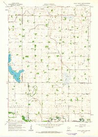
1962 · School Grove Lake
USGS Topo · 1:24,000
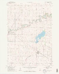
1962 · Wood Lake
USGS Topo · 1:24,000
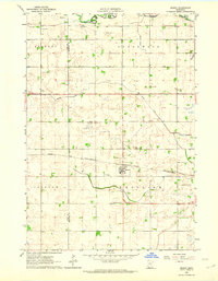
1962 · Milroy
USGS Topo · 1:24,000
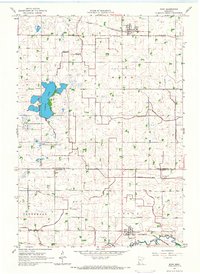
1965 · Echo
USGS Topo · 1:24,000
1965 · Lone Tree Lake
USGS Topo · 1:24,000
1965 · Belview
USGS Topo · 1:24,000
1965 · Iverson Lake
USGS Topo · 1:24,000