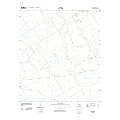
2010 Map of Echols
USGS Topo · Published 2010About this map
Coolidge serves as the primary hub in this portion of Limestone County, where a cluster of burial sites including Coolidge Cemetery, Armour Cemetery, Hill Cemetery, and New Armour Cemetery provide significant points of interest for genealogical research. The landscape is defined by the winding course of the Navasota River, which draws in tributaries like Pin Oak Creek, Mustang Creek, and Sandy Creek. Small settlements and rural intersections like Echols, Sandy, Mustang, and Frosa are connected by a network of farm-to-market roads and local county routes. The drainage patterns of Christmas Creek in the southeast reflect the transition toward the river bottomlands, illustrating the agrarian layout of the region in the early twenty-first century.
Find a feature on this map
52 named features on this map. Tap any name to fly to it.
Don’t see what you’re looking for? This feature index may not catch every label — zoom into the map to look around manually.
Map Details
Editions of this 2010 Echols Map
This is the sole edition of this map. No revisions or reprints were ever made.
Other maps of this area

1920 · Mart
USGS Topo · 1:62,500

1954 · Waco
USGS Topo · 1:250,000

1955 · Waco
USGS Topo · 1:250,000

1956 · Hubbard
USGS Topo · 1:24,000

1956 · Mart
USGS Topo · 1:24,000

1957 · Prairie Hill
USGS Topo · 1:24,000

1957 · Groesbeck
USGS Topo · 1:62,500

1960 · Echols
USGS Topo · 1:24,000

1960 · Groesbeck
USGS Topo · 1:24,000

1960 · Tehuacana
USGS Topo · 1:24,000