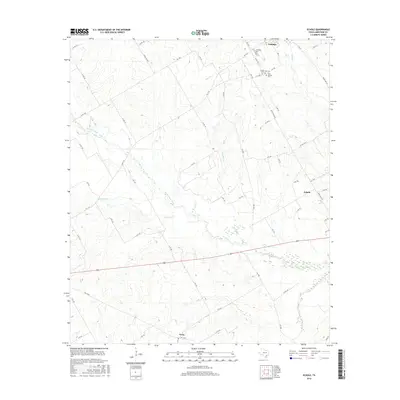
2016 Map of Echols
USGS Topo · Published 2016About this map
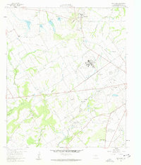
The Navasota River and its multiple tributaries define the geography of this Limestone County landscape, where the small community of Coolidge sits at the northern edge. The area is characterized by dispersed rural settlements and several significant family and community burial grounds, including the Coolidge Cem, Armour Cem, and New Armour Cem. This part of Texas remains predominantly agricultural, with the drainage basins of Mustang Cr and Pin Oak Cr carving subtle relief across the terrain. Farther south, the community of Frosa and the namesake Echols represent the quiet rural nodes that have long served local ranching and farming families. The map illustrates a dense network of county roads and ranch roads that have connected these small clusters since the early twentieth century, providing a clear view of the land division and transport patterns before modern development altered the rural character of the region.
Find a feature on this map
63 named features on this map. Tap any name to fly to it.
Don’t see what you’re looking for? This feature index may not catch every label — zoom into the map to look around manually.
Map Details
Editions of this 2016 Echols Map
This is the sole edition of this map. No revisions or reprints were ever made.
Other maps of this area
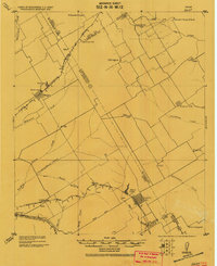
1920 · Mart
USGS Topo · 1:62,500

1954 · Waco
USGS Topo · 1:250,000

1955 · Waco
USGS Topo · 1:250,000
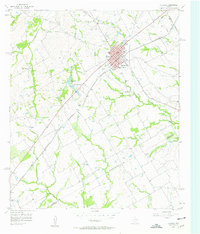
1956 · Hubbard
USGS Topo · 1:24,000
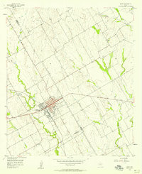
1956 · Mart
USGS Topo · 1:24,000
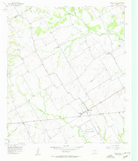
1957 · Prairie Hill
USGS Topo · 1:24,000
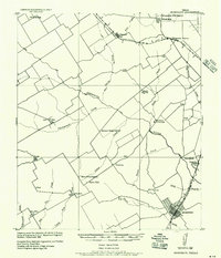
1957 · Groesbeck
USGS Topo · 1:62,500
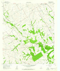
1960 · Echols
USGS Topo · 1:24,000
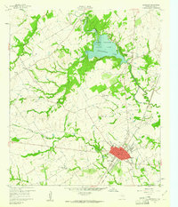
1960 · Groesbeck
USGS Topo · 1:24,000
1960 · Tehuacana
USGS Topo · 1:24,000