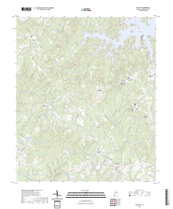
2024 Map of Eclectic
USGS Topo · Published 2024About this map
Eclectic serves as a primary hub in this corner of Elmore County, where a network of regional routes like Georgia Rd and Central Plank Rd converge. The landscape is defined by the complex hydrography of the Tallapoosa River basin, notably the northern reaches of Martin Lake and the winding course of Channahatchee Creek. Numerous family and community burial grounds, including the Bullard Cem and Warren Cem, are scattered across the rural landscape, suggesting a long history of local settlement and genealogical depth. To the north, the terrain transitions toward more concentrated water features such as Black Well Lake and the residential inlets of Real Island and Mariner Island. Small communities like Seman, Central, and Cotton dot the road network, maintaining their identity as quiet crossroads amidst the creeks and timberlands that characterize this part of Alabama.
Find a feature on this map
135 named features on this map. Tap any name to fly to it.
Don’t see what you’re looking for? This feature index may not catch every label — zoom into the map to look around manually.
Map Details
Editions of this 2024 Eclectic Map
This is the sole edition of this map. No revisions or reprints were ever made.
Other maps of this area

1901 · Wetumpka
USGS Topo · 1:125,000

1901 · Wetumpka
USGS Topo · 1:62,500

1903 · Wetumpka
USGS Topo · 1:125,000

1906 · Dadeville
USGS Topo · 1:125,000

1953 · Montgomery
USGS Topo · 1:250,000

1955 · Phenix City
USGS Topo · 1:250,000

1956 · Montgomery
USGS Topo · 1:250,000

1957 · Phenix City
USGS Topo · 1:250,000

1957 · Montgomery
USGS Topo · 1:250,000

1958 · Phenix City
USGS Topo · 1:250,000